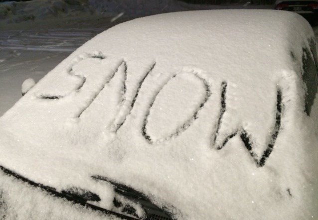
There's a winter storm warning issued for our area, and lots of snow on the way.
The warning includes:
- North Bay - West Nipissing,
- Greater Sudbury and vicinity,
- New Liskeard - Temagami,
- Témiscaming area, Que
- Burk's Falls - Bayfield Inlet
Current details:
Hazardous winter conditions are expected.
There is 25 to 30 cm snow expected today, tonight and Thursday.
A low pressure system approaching from the west is expected to bring a significant April snowfall to Northeastern Ontario today, tonight and Thursday.
Snow will move in early this morning and become heavy at times. Amount 5 to 10 cm. Wind becoming southeast 20 km/h late this morning. High minus 1.
Snowfall amounts of 25 to 30 cm are likely by Thursday afternoon. Brisk Northeasterly winds are likely to result in blowing and drifting snow in exposed areas. The snow will change over to rain briefly before tapering off Thursday late afternoon.
If we get the amount predicted it will set a new snowfall record for this day. The old record of 16.2 was set in 1979, 37 years ago.
Meanwhile, West Parry Sound busing is cancelled due to expected accumulations of up to 30 cm.
Corridor Cancellation:
- Britt and Nobel
- Mactier, Humphrey, Rosseau
- McDougall/Whitestone
- Town of Parry Sound
At this time, all schools remain open for students who can get there safely. Parents are reminded that cancelled bus routes will not run in the afternoon; any students brought to school by other means must be picked up at the end of the school day.
City buses are running normally.


