The North Bay area has snow depth and water equivalence above the long-term average for this time of year and is more than double last year’s measurements according to the North Bay-Mattawa Conservation Authority.
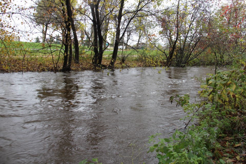
That's bad news when it comes to the chance of spring flooding.
We've had plenty of cold weather this winter which has prevented any melting, and more below freezing temps are predicted for next week also.
"However, during mid-March, we expect a national pattern change which will feature a quick transition from winter to spring weather," according to the weather network.
"We expect fewer than normal storms across Canada this spring, but a few of the storms will tap into subtropical moisture and bring substantial rainfall totals.
"Flooding is also a major concern this spring for many regions of the country where we will have well above normal amounts of snow on the ground when the pattern reversal occurs. The cold pattern during early March will allow the snowpack to continue to increase at a time when normal temperatures are climbing above freezing. Rapid snow melt will then occur when we shift to above normal temperatures."
“There has been little change in the snowpack depth since the last survey two weeks ago,” said Joel Harrison, NBMCA’s Water Resource Scientist. “However, the snow water equivalence has increased as the snow has become more compact and less fluffy.”
The snow depth average at the three sites is 85 cm, 167 per cent of the long-term average for this time of year.
Meanwhile, the water equivalence of the snowpack has increased by 52 mm to 200.3 mm or 177 per cent of the long-term average.
Summary, Change & Comparison
Average Depth for all sites 84.8 cm (167% of normal)
Average snow water equivalence for all sites 200.3 mm (177% of normal)
Change in average snow depth since Feb 14/2019 0.2 cm
Change in average water equivalence since Feb 14/2019 52 mm
Average Depth for all sites March 1 2018 36.2 cm
Average water equivalence for all sites March 1 2018 94.3 mm


