Be prepared to be without power this evening and tonight as Environment Canada says freezing rain is on its way this evening and into tomorrow.
"Appreciable ice accumulations in combination with brisk northeast winds gusting up to 50 km/h range may result in localized power outages due to fallen tree limbs and power lines," warns Environment Canada.
Check the North Bay Hydro outages map here.
Check the Hydro One outages map here.
An extended period of freezing rain will begin tonight.
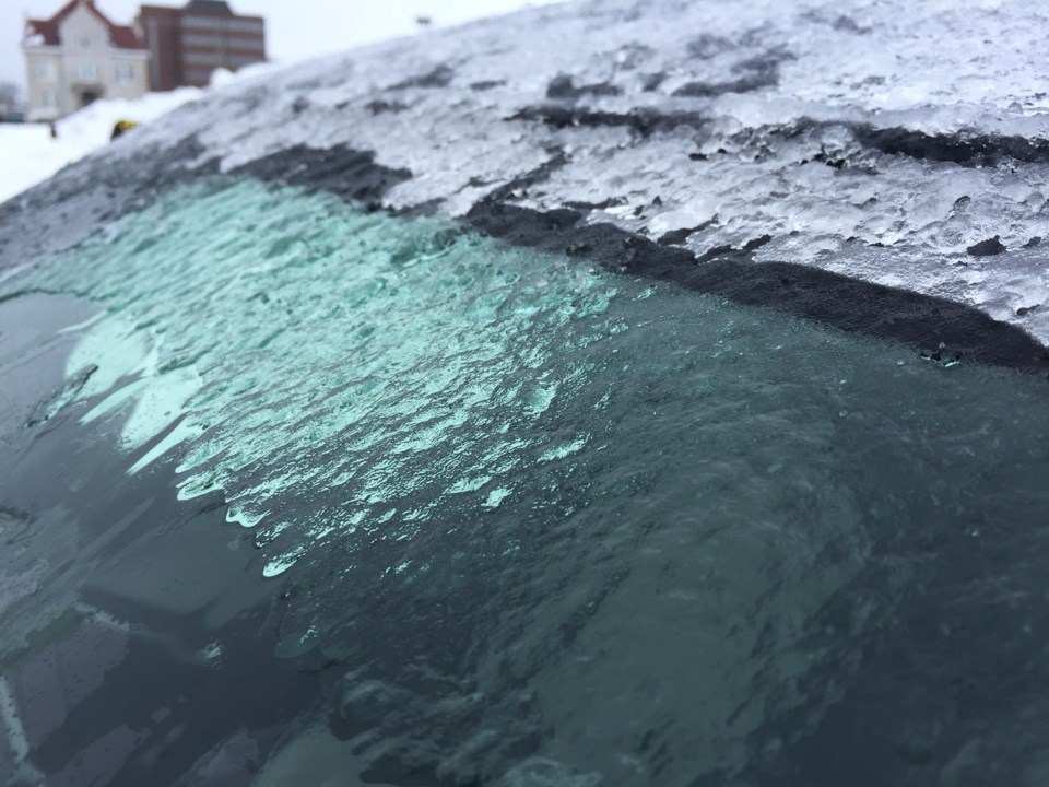
A significant winter storm is expected to bring a messy mix of precipitation to the region beginning near noon today.
Precipitation will begin as snow but will quickly transition to ice pellets this afternoon before changing over to freezing rain tonight. The freezing rain is then expected to persist into Monday morning before transitioning to a rain-snow mix as temperatures climb just above the freezing mark.
Surfaces such as highways, roads, walkways and parking lots will become icy, slippery and hazardous. Ice build-up may cause tree branches to break.
You should consider postponing non-essential travel until conditions improve.
Find tips on how to make emergency kits and plans and learn how to prepare for extreme weather here.
Meanwhile to the west (Sudbury), and north (Temagami) a major winter storm is expected to bring a variety of winter weather conditions beginning today.
An initial band of snow associated with this storm is forecast to begin over areas adjacent to Lake Huron and Lake Superior near noon today and then spread northeastward. Most areas will see a quick transition to ice pellets this afternoon or tonight. In some areas an extended period of ice pellets is likely resulting in significant ice pellet accumulations. Heavy snow will then redevelop late tonight or Monday morning before slowing tapering off Monday night. Total snow and ice pellet accumulations of 10 to 20 cm will be possible through this period.
The combination of ice pellets, heavy snow and strong gusting winds will result in difficult travel conditions through at least Monday evening.


