Approximately 12 cm of snow has accumulated and water content has increased by about 1 cm since the North Bay-Mattawa Conservation Authority completed its last snow survey in mid-December.
“There is about a foot of relatively light snow on the ground, as of today,” said Joel Harrison, Water Resources Specialist at NBMCA. “The current snow depths are close to the long-term averages for this time of the year”.
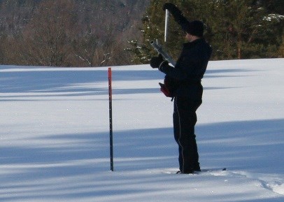
Snow is measured for depth and water equivalence in North Bay, Corbeil and Chisholm Twp. Data for the season can be found on the NBMCA website.
North Bay Golf and Country Club (Chippewa Creek Watershed, North Bay)
|
Current Average Snow Depth for January 2, 2018 |
31.7 cm (125% of normal) |
|
Current Average Water Equivalence for January 2, 2018 |
4.9 cm (98% of normal) |
|
Average Snow Depth for January 2, 2017 |
36.4 cm |
|
Highest recorded snow depth for January 2 since 2012* |
36.4 cm in 2017 |
|
|
|
Corbeil Conservation Area (La Vase River Watershed, Corbeil)
|
Current Average Snow Depth for January 2, 2018 |
29.7 cm (104% of normal) |
|
Current Average Water Equivalence for January 2, 2018 |
2.9 cm (73% of normal) |
|
Average Snow Depth for January 2, 2017 |
39.9 cm |
|
Highest recorded snow depth for January 2 since 1988 |
48 cm in 1996 |
|
|
|
Shirley Skinner Conservation Area (Kaibuskong River Watershed, Chisholm)
|
Current Average Snow Depth for January 2, 2018 |
28.4 cm (92% of normal) |
|
Current Average Water Equivalence for January 2, 2018 |
3.6 cm (71% of normal) |
|
Average Snow Depth for January 2, 2017 Highest recorded snow depth for January 2 since 2007 |
34.6 cm 42.7 cm in 2010 |


