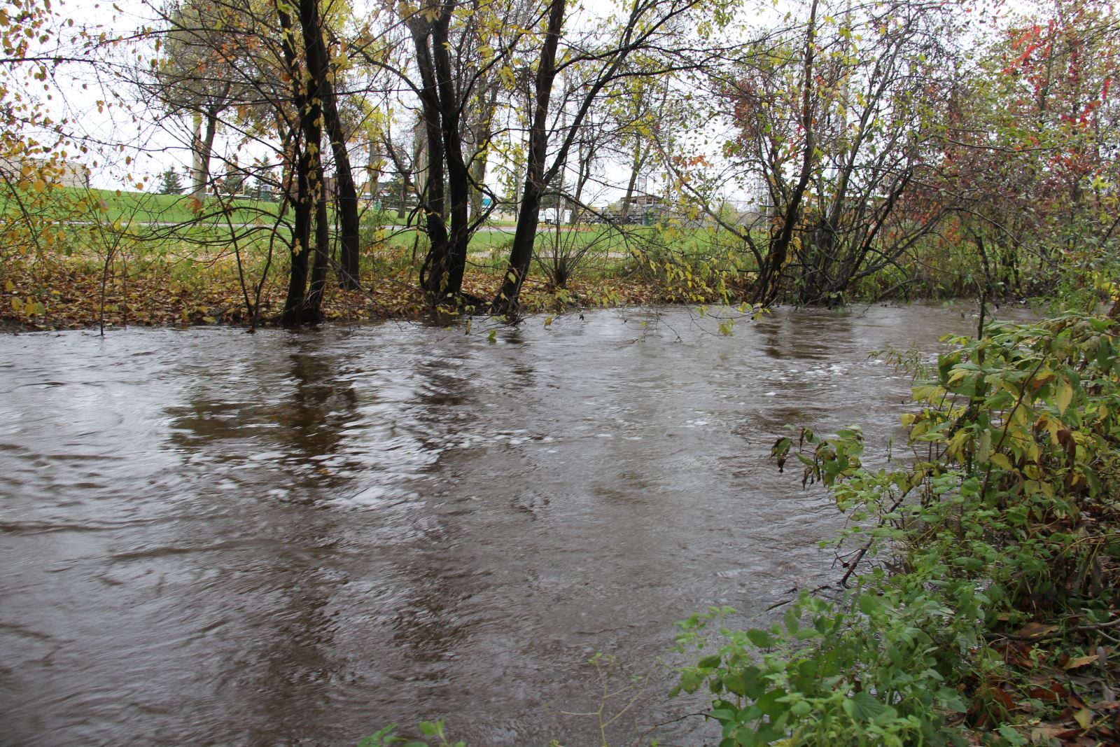
 Chippewa Creek topped its banks in some parts of the city last spring as high water levels posed flood danger. Photo by Jeff Turl.
With the first day of spring just around the corner, the North Bay-Mattawa Conservation Authority is reporting “so far, so good” for the spring melt and flood forecasting.
“We’re seeing good conditions so far for the spring freshet. Although temperatures are forecast to be below normal for the spring, above zero daytime temperatures and below freezing night time temperatures are ideal for a slow release of water from the snow pack. That reduces the potential for flooding in the area,” said Susan Brownlee, NBMCA’s Regulations Officer.
A news release from the organizations says, "Although precipitation was below average this winter, the March 16 snow survey results show there are higher than normal snow depths for this time of year due to the below normal temperatures. Water content in the snow pack varies throughout the watershed."
“Snow pack conditions and weather forecasts will be closely monitored by NBMCA as the weather may change abruptly. An extended period of warmer temperatures, in addition to rain, could result in rapid melting of the snow and increase the risk of flooding,” added Brownlee.
Snow is measured for depth and water equivalence at three locations in the watershed in the Chippewa Creek, La Vase River and Wasi River subwatersheds. Data for the season can be found on the NBMCA website at www.nbmca.on.ca.
All residents, especially those in low lying areas, are encouraged to be cautious around water during this time of year.
The spring thaw will make waterways dangerous. Lake and river ice will be thinning and could be unsafe. Water levels will also be rising with the spring runoff while banks adjacent to rivers will be very slippery. This combined with very cold water pose a serious hazard. Parents are encouraged to keep their children and pets away from watercourses and off water bodies that have unstable ice conditions.
Monday the NBMCA begins removing ice from Parks Creek near Lakeshore Drive, in preparation for the spring runoff. Removal of the ice creates storage space for runoff and helps prevent flooding along that watercourse. Ice removal takes place a short ways into Lake Nipissing and upstream beyond Lakeshore Drive, explains Troy Storms, Field Operations Supervisor.
The advisory group which monitors the water levels of Lake Nipissing and the French River meet next week for a pre-freshet meeting. The Sturgeon-Nipissing-French-Wanapitei Water Management Group, overseen by the Surgeon/Nipissing/French Advisory Group, closely monitors the weather conditions and water levels in an attempt to minimize the impact of variable weather conditions and maximize the benefits to the fishery of the lake and river.
The Sturgeon River/Lake Nipissing/French River (SNF) watershed drains an area of approximately 19,100 square kilometers in Northeastern Ontario. Conditions within the watershed will be brought forward by the group whose membership consists of Public Works and Government Services Canada, the Ministry of Natural Resources and Forestry, Ontario Power Generation, the North Bay-Mattawa Conservation Authority, various affected municipalities and First Nations groups, tourist outfitters and user groups, while a watershed management strategy will be considered. For more information on the Lake Nipissing and French River water levels and flow information visit the Public Works and Canada Services website at http://www.tpsgc-pwgsc.gc.ca/ontario/eaux-water/renseignement-information-eng.html
NBMCA Snow Survey Measurements for March 16, 2015
North Bay Golf and Country Club (Chippewa Creek Watershed, North Bay)
|
Current Average Snow Depth for March 16, 2015 |
59.5 cm (155% of normal) |
|
Current Average Water Equivalence for March 16, 2015 |
11.6 cm (96% of normal) |
|
Average Snow Depth for March 16, 2014 |
76.5 cm |
|
Highest recorded snow depth for March 17 since 1988 |
93 cm in 2001 |
|
|
|
Corbeil Conservation Area (La Vase River Watershed, Corbeil)
|
Current Average Snow Depth for March 16, 2015 |
61.7 cm (138% of normal) |
|
Current Average Water Equivalence for March 16, 2015 |
17.1 cm (149% of normal) |
|
Average Snow Depth for March 16, 2014 |
72.5 cm |
|
Highest recorded snow depth for March 17 since 1987 |
90.2 cm in 2001 |
|
|
|
Shirley Skinner Conservation Area (Wasi River Watershed, Chisholm)
|
Current Average Snow Depth for March 16, 2015 |
62.3 cm (157% of normal) |
|
Current Average Water Equivalence for March 16, 2015 |
16.5 cm (155% of normal) |
|
Average Snow Depth for March 16, 2014 Highest recorded snow depth for March 17 since 2006 |
67.3 cm 67.3 cm in 2014 |


