Environment Canada says we could be in for a couple of messy days.
A Special weather statement has been issued for North Bay and West Nipissing, It now also includes Burk's Falls - Bayfield Inlet.
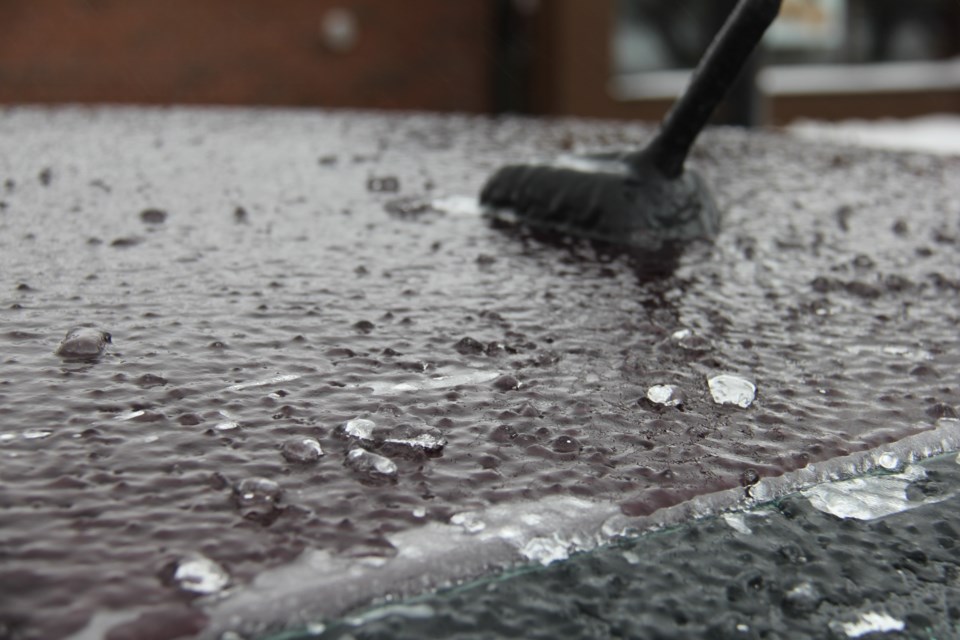
Snow and freezing rain is possible Tuesday.
A low pressure area will bring a significant precipitation event to Northeastern Ontario tomorrow. A few centimetres of snow and ice pellets are expected before possibly changing to freezing rain Tuesday.
Freezing rain may last for a few hours before changing back to snow Tuesday night.
Travelling conditions may deteriorate and become hazardous as a result.
In advance of that low, today will see cloudy skies with periods of snow beginning this morning...should see about 2 cm with a high of minus 7.
In addition, a snowfall warning is issued for:
Greater Sudbury and vicinity,
New Liskeard - Temagami,
Significant snowfall expected on Tuesday.
A low pressure system will bring a significant snowfall to the region on Tuesday. Snow, at times heavy, will start over the regions east of Lake Superior Tuesday morning, and then spread to the regions near the border of Quebec Tuesday afternoon. Total snowfall amounts of 15 to 20 cm are expected.
Snowfall will taper off Wednesday morning.
Visibility may be suddenly reduced at times in heavy snow. Surfaces such as highways, roads, walkways and parking lots may become difficult to navigate due to accumulating snow.


