A Colorado low is expected to begin affecting the region tonight.
Rainfall amounts of 25 to 40 mm are possible by late Wednesday. In addition, strong easterly winds will develop tonight with wind gusts up to 80 km/h. The winds will ease on Wednesday afternoon.
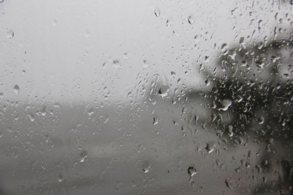
Isolated power outages will be possible. Rain should transition to snow Wednesday afternoon or evening as temperatures cool. Several centimetres of accumulation are likely by the time the snow tapers off on Thursday.
Significant rainfall is expected. The frozen ground has a reduced ability to absorb this rainfall.
For information concerning flooding, please consult your local Conservation Authority. Visit Ontario.ca/floods for the latest details. Localized flooding in low-lying areas is possible. Watch for possible washouts near rivers, creeks and culverts.
A rainfall warning is in effect for:
- North Bay - West Nipissing
- South River - Burk's Falls
- Huntsville - Baysville
- Town of Parry Sound - Rosseau - Killbear Park
In addition, a snowfall warning is in effect for
- Greater Sudbury and vicinity
- Kirkland Lake - Temiskaming Shores - Temagami
Significant snowfall is likely tonight into early Thursday morning.
Total snowfall amounts of 15 to 25 cm, particularly north of Sudbury and Elliot Lake. Peak snowfall rates of 2 to 4 cm per hour.
Reduced visibility in areas of heavier snow. Timing:
Snow is expected to move into the region later tonight and continue through the day Wednesday and into Wednesday night. For areas farther south along the Highway 17 corridor including Greater Sudbury and Elliot Lake, precipitation may be a mix of rain and snow, with a changeover to all snow not likely until Wednesday evening. As a result, snowfall amounts in this corridor will likely be less.
Precipitation should taper off on Thursday morning. Rapidly accumulating snow could make travel difficult in some locations. Surfaces such as highways, roads, walkways, and parking lots may become difficult to navigate due to accumulating snow.


