The rain may begin to transition to snow in some areas later this afternoon or evening
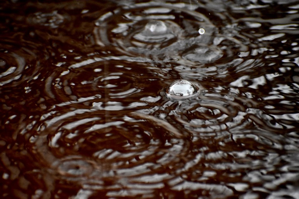
Rain, heavy at times is expected today, winding down tonight.
The frozen ground has a reduced ability to absorb this rainfall as additional rainfall amounts of 20 to 45 mm may occur.
The rain may begin to transition to snow in some areas later this afternoon or evening. A full changeover to snow is likely for some areas tonight with local snowfall amounts of 5 cm possible by Saturday morning.
A rainfall warning is in effect for:
- North Bay - West Nipissing
- Powassan - Mattawa
- Sudbury
- Kirkland Lake - Temiskaming Shores - Temagami
- Ville Marie
The Ministry of Natural Resources and Forestry – North Bay District, is advising area residents that a Watershed Conditions Statement - Flood Outlook is in effect until Friday, April 19.
"Residents in the North Bay District area should keep a close watch on conditions and exercise caution around rivers and streams. Please alert and monitor any children under your care to possible dangers and supervise their activities. The forecasted precipitation ending overnight on Friday could cause local flooding in low lying areas."
A strong low-pressure system (“Texas Low”) continues to move across the province today, bringing significant rain to northeastern Ontario. The system is expected to taper off by Saturday morning as it continues its eastward trajectory toward Quebec. 15mm to 37mm have been recorded in northeastern Ontario over the last 24 hours. An additional 20-30mm of rain is expected to fall today.
Rain continues to be forecast to turn to light snow throughout the district overnight on Friday and into Saturday morning. Nighttime temperatures will hover around the freezing mark into early next week.
With the increased amount of rainfall throughout the district, water levels and flows are increasing, responding to runoff produced by the rain. District watercourses are starting to reach their maximum ranges for this time of year. Lakes in the northern reaches of the district still have some ice and some snow may be present in sheltered areas. The ground is saturated to frozen throughout the district, leaving it unable to absorb much, if any, of the precipitation. Although no widespread flooding is expected at this time, water levels and flows in rivers and lakes have increased and flooding in low-lying areas and areas with poor drainage is possible.