Not often, but sometimes we carefully climb to the top of our roof to check the chimney, the shingles or the whirligig. Santa will be doing so soon.
There is something more special when you climb to the top of a mountain and you experience the 360° view. Or take in the vista from a high cliff it includes the process of getting there.
Measuring mountains might not seem overly complicated, but there are actually several ways in which it can be done. Depending on which technique is used, the title of the world's tallest mountain could go to any of several mountains in various regions of the world.
Some scientists heatedly debate the issue, arguing that their technique is the most accurate. The world's tallest mountain differs depending on whether a mountain's height is measured from sea level, by vertical rise or from the base or even from the centre of the Earth. This clouds the debate in Northern Ontario as well; what height of land claims the title for us?
Northern Ontario Mountains
Most of us won’t conquer a lofty peak but we can climb the highest peaks in Ontario most are accessible through our land and water back roads.
Larry Dyke, is a Professor Emeritus, from Queen’s University, Department of Geology.
“In Northern Ontario, the uplift started about 1,200 million years ago. We now see the roots of these ancient mountains and cliffs exposed and subdued by erosion acting over that enormous length of time. Glaciations that repeatedly covered most of Canada over the last two million years are just the last stages in the long erosional history," Dyke said. "Ishpatina Ridge and Maple Mountain and other viewpoints stand prominent today within the Temagami wilderness. Particularly dense parts of this accumulation have resisted the ice scouring and remain as these Ontario high points.”
Our northern Ontario highest peaks and cliffs are older, worn mountains then, easy enough to understand.
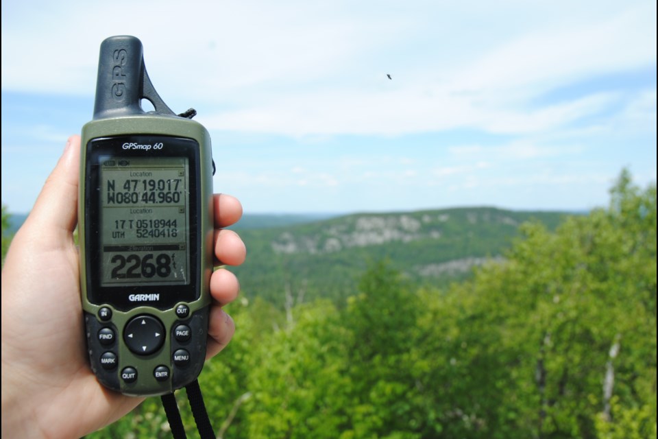
Ishpatina Ridge is the highest point of land in Ontario, at an estimated 693 m (2,274’) above sea level. It rises approximately 300 m (984’) above the immediate area.
Toronto's CN Tower's top is almost the same height above sea level as the top of Ishpatina Ridge. It is 553.33 m high (1,815.4 ft).
The name "Ishpatina" comes from an Ojibwa language word ishpadina, meaning "be a high hill/ridge". Spadina Avenue in Toronto is derived from the same word; (there is a height of land in the Queen’s Park area).
An abandoned fire tower, often referred to as the Ellis Tower (Ellis is the surveyed township name), is still standing on the highest section of the ridge. The ridge lies within Lady Evelyn-Smoothwater Provincial Park.
Maple Mountain is often mistaken as being the highest mountain in Ontario, however, it is actually lower on the list, but has the highest vertical rise in the province; 351 m (1,152’) on the landscape. It has a higher vertical rise over the surrounding landscape, 37 m (121 ft) higher than the Ishpatina Ridge. It ranks thirteenth, but when ranked by vertical rise it is the highest of the top 25 peaks in Ontario.
The 100-ft (30 m) fire tower is also still intact; it is also within the provincial park’s boundaries.
Temagami First Nation people refer to the mountain as Chee-bay-jing, which means “the place where the spirits live” and is considered a sacred site.
The mountain was named by Dr. Robert Bell of the Geological Survey of Canada in 1888. Bell was the first known non-aboriginal to reach the summit.
Other high points in the list of Ontario’s highest points include Ogidaki Mountain, a high hill in the Algoma Highlands north of Sault Ste. Marie was once thought to be the highest point in Ontario but is actually the seventh.
Wolf Lake Mountain, #17 northeast of Sudbury, is a popular snowmobile and ATV destination; Ghost Range Peak, #20 is the highest point in Ontario’s Cochrane District, it is located near the intersection of Hwy 101 and Hwy 672, east of Kirkland Lake.
The Cup and Saucer Trail, the Manitoulin high point, is 1,155 feet (352 meters). As the highest and most impressive features of the landscape, these vistas have an unusual power to awaken a sense of the sacred and an aura of mystery and sanctity.
Here is the map for these high point locations see.


