Expect significant rainfall likely today if you are travelling north.
A special weather statement has been issued for
- Temagami
- New Liskeard
- Kirkland Lake -
- Englehart
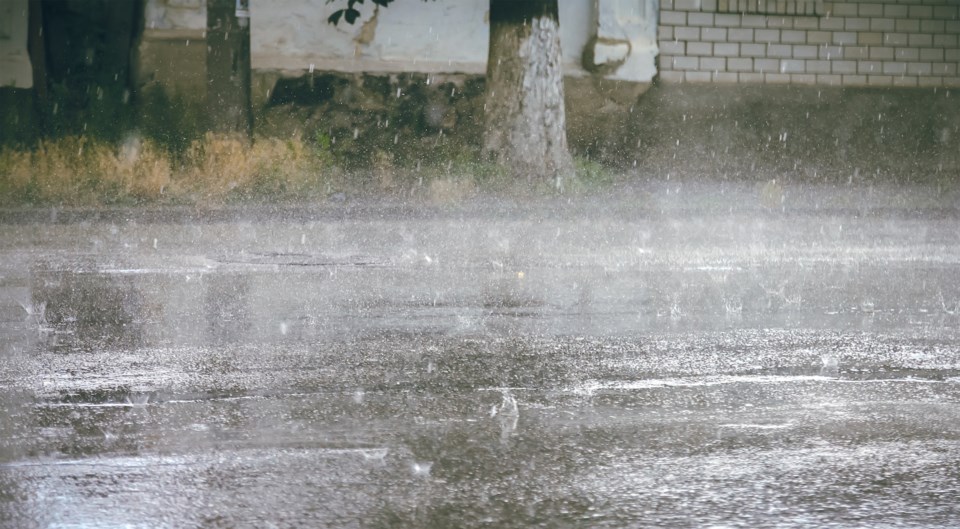
A fast-moving and fairly moisture-laden low-pressure system is expected to soak much of Northeastern Ontario today as it moves eastward across the area.
A widespread rainfall of 20 to 30 millimetres is expected today However, local total rainfall amounts of 30 to 50 mm are quite likely from embedded thunderstorms over a few areas.
The rain will come to an end tonight as the low pressure area moves away over Quebec.
For North Bay, becoming cloudy this morning with a few showers. Risk of a thunderstorm late this morning and this afternoon. Fog patches dissipating this morning. Wind becoming southwest 20 km/h with a high of 21 and humidex of 25.
Severe thunderstorm watch issued for:
- Témiscaming area, Que.
Conditions are favourable for the development of severe thunderstorms that may be capable of producing strong wind gusts, large hail, and heavy rain.
Severe thunderstorm watch issued for:
- Huntsville - Baysville,
Conditions are favourable for the development of severe thunderstorms that may be capable of producing strong wind gusts.
Conditions will become favourable for severe thunderstorms to develop this afternoon as a cold front moves through.
The main threat is damaging wind gusts of 90 to 100 km/h.
Strong wind gusts can toss loose objects, damage weak buildings, break branches off trees and overturn large vehicles. Hail and locally heavy rain are also possible. Remember, severe thunderstorms can produce tornadoes.


