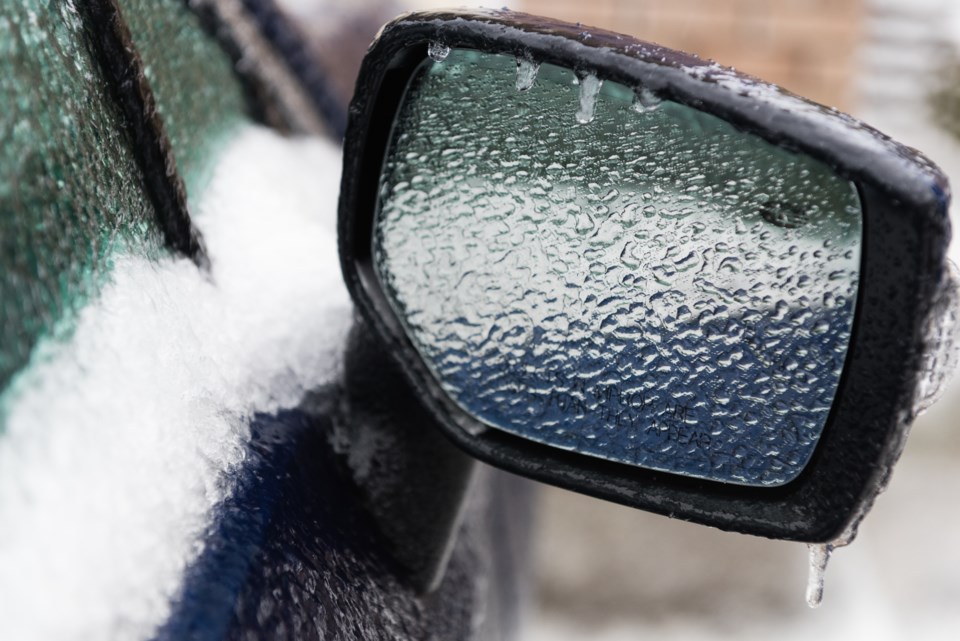
Here we go again, Environment Canada has issued a freezing rain warning issued for:
- North Bay - West Nipissing,
- Greater Sudbury and vicinity,
- New Liskeard - Temagami,
- Témiscaming area,
- Burk's Falls - Bayfield Inlet,
- Deep River - Whitney - Eastern Algonquin Park,
- Huntsville - Baysville,
Freezing rain early Sunday morning then strong winds with snow and blowing snow Sunday night into Monday morning.
Precipitation associated with a winter storm may begin as snow or ice pellets Saturday night then is forecast to quickly change to freezing rain late overnight or early Sunday morning. A transition to rain is then expected before a change back to snow Sunday late in the day.
In addition, westerly wind gusts to 70 km/h are possible Sunday night into Monday resulting in poor visibility in blowing snow.
Travel will become hazardous due to significant and sudden reduction to visibility.
Environment Canada meteorologists continue to monitor this developing storm closely.
Surfaces such as highways, roads, walkways and parking lots may become icy and slippery. Utility outages may occur.


