Water levels on Lake Nipissing remain high after spiking due to the widespread rainfall, prompting the North Bay-Mattawa Conservation Authority to extend the flood warning for the North Bay and Callander shoreline of Lake Nipissing to Tuesday, June 18.
“Although we experienced 20-25mm of rainfall and a spike in lake levels, the good news is there is very little rain in the forecast beyond Sunday and inflows are expected to drop back down over the weekend,” said Kurtis Romanchuk, NBMCA Duty Officer.
By tomorrow, another 5-15mm of rain is expected.
No significantly strong wind speeds are in the next five-day forecast so lake levels may continue to drop 1-2cm per day on average over the next several days.
That will ultimately depend on the rate of evaporation and the actual amount of rain. Wind speed and direction continue to be a major factor in local water levels and Lake Nipissing levels remain vulnerable to any significant precipitation events and strong winds.
Lake Nipissing is currently at an average elevation of 196.31m, rising approximately 4cm over the last 24 hours, due to the rain. However, the level is still considered high and the remains vulnerable to wind and rain effects.
In North Bay, the local level reads 196.35m and at the French River outlet on the lake, the gauge reads 196.27m. The outflow from the dams along the French River is being reassessed on a continuous basis to balance flooding on Lake Nipissing and the French River.
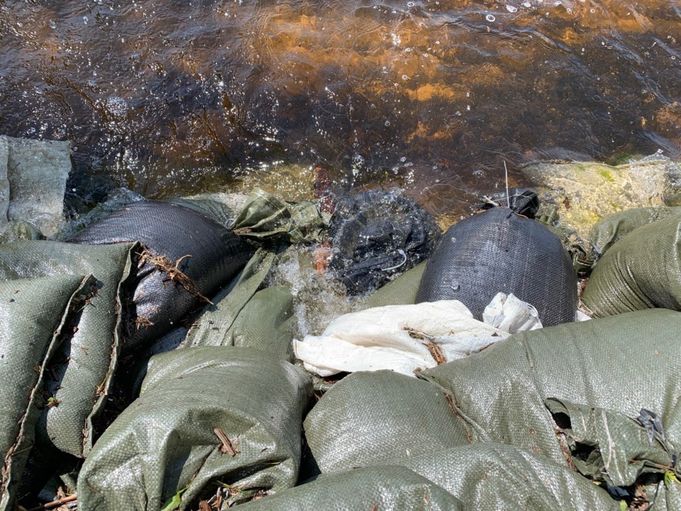
NBMCA has been operating the Parks Creek Backflood Control Structure on Red Alert and pumping since May 2, to help mitigate flooding and sewer back-up for 350 homes in the Parks Creek neighbourhood.
The pumps will remain in operation until Lake Nipissing’s water levels return to normal levels. Eva Wardlaw Conservation Area remains closed while the Backflood Control Structure is in operation.
The Ottawa River at the Town of Mattawa is currently at elevation 153.59m, and has risen substantially in the last few days due to the received rainfall, but remains far below its peak of 155.64 earlier this spring. Reservoirs and dams upstream may make adjustments in response to significant rainfall, which has an effect on water levels downstream.
A Watershed Conditions Statement – Water Safety remains in effect for the Mattawa River, and other watercourses in NBMCA’s jurisdiction due to high water levels.


