Widespread wind chills of minus 42 are expected tonight into Friday morning. Extreme cold wind chills are expected once again Friday night into Saturday morning.
A prolonged period of very cold wind chills is expected, but temperatures will moderate through the day on Saturday bringing an end to the extreme cold spell.
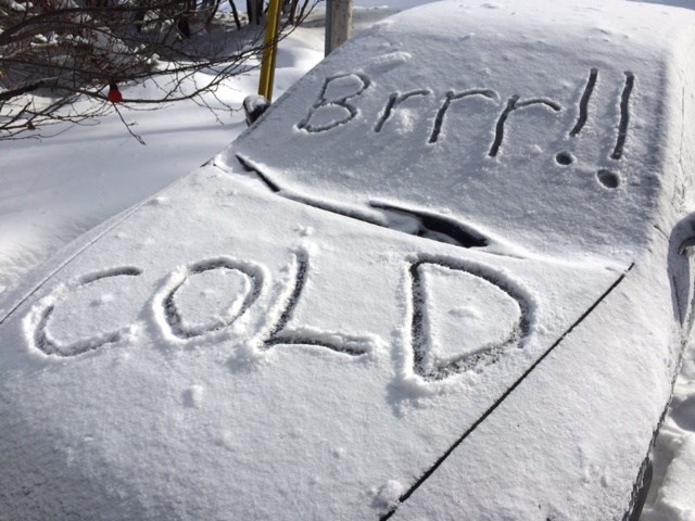
Frostbite will occur in minutes.
An extreme cold warning is in effect for:
- North Bay - Powassan - Mattawa
- West Nipissing - French River
- South River - Burk's Falls
- Témiscaming - Ville-Marie area
- Bayfield Inlet - Dunchurch
- Greater Sudbury and vicinity
- Kirkland Lake - Englehart
- Temagami-Temiskaming Shores
- Huntsville - Baysville
- Bracebridge - Gravenhurst
- Port Carling - Port Severn
- Town of Parry Sound - Rosseau - Killbear Park
Risks are greater for young children, older adults, people with chronic illnesses, people working or exercising outdoors, and those without proper shelter.
Watch for cold-related symptoms: shortness of breath, chest pain, muscle pain and weakness, numbness and colour change in fingers and toes. Frostbite can develop within minutes on exposed skin, especially with wind chill.
Check on older family, friends and neighbours.
If it's too cold for you to stay outside, it's too cold for your pet to stay outside.
Meanwhile, we are also under a snow squall warning.
- North Bay - Powassan - Mattawa
- West Nipissing - French River
- Bayfield Inlet - Dunchurch
- South River - Burk's Falls
- Greater Sudbury and vicinity
- Kirkland Lake - Englehart
- Temagami-Temiskaming Shores
- Témiscaming - Ville-Marie area
- Bracebridge - Gravenhurst
- Huntsville - Baysville
- Port Carling - Port Severn
- Town of Parry Sound - Rosseau - Killbear Park
Brief, intense snowfall is expected to develop this morning and afternoon.
Under the snow squall, visibility will be significantly reduced due to the heavy snow.
Sudden whiteout conditions in heavy snow and local blowing snow are expected with snowfall accumulations of 2 to 5 cm in an hour or two.
A brief but intense snow squall associated with a fast-moving arctic cold front will push southeastward across northeastern Ontario this morning into this afternoon. Heavy snow combined with northwesterly winds gusting 50 to 70 km/h may produce near-zero visibility. Bitterly cold air will follow in the wake of the front with extreme wind chill values expected tonight into Friday morning.
Snow squalls cause weather conditions to vary considerably; changes from clear skies to heavy snow within just a few kilometres are common. Travel may be hazardous due to sudden changes in the weather. Visibility may be significantly and suddenly reduced to near zero.


