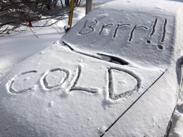
Bundle up if you expect to be outside in the next 48 hours, a weather advisory continues for the area.
A cold front sweeping through the area today will plunge temperatures to minus 15 overnight but the 25 km/h winds, gusting to 41, will give us a wind chill of minus 25.
See: Weather advisory, snow and road conditions. Dust off your thermal underwear
And if you have outdoor activities planned for Friday, like attending the East Ferris Remembrance Day Ceremony at the East Ferris Cenotaph at 10:30, located on Hwy 94, be sure to dress warmly.
The afternoon high will struggle to reach minus 6, but 22 km/h winds will make it feel more like minus 12.
Snowfall amounts near 5 cm are expected by this evening before the snow tapers to isolated flurries.
It gets worse as you go north.
Environment Canada says up Temagami and New Liskeard way, heavy snowfall with blowing snow is expected.
A developing low pressure system will bring significant snowfall along with reduced visibility in blowing snow to the region today. Total snowfall accumulations near 15 cm are expected by early this evening.
The heaviest snow is expected to fall this afternoon. Northwest winds gusting to 60 km/h will also develop this afternoon resulting in blowing snow early this evening.
Consider postponing non-essential travel until conditions improve. Prepare for quickly changing and deteriorating travel conditions. If visibility is reduced while driving, turn on your lights and maintain a safe following distance.
And our neighbours in Témiscaming Quebec will also be affected with rapidly falling temperatures and heavy flurries locally. a snow squall watch is in effect. A vigorous cold front will move into the southern Témiscamingue region late this afternoon giving heavy flurries. The front will move across the remaining regions from west to east this evening. The southwest winds will shift to strong northwesterlies as the front passes. The snow driven by these winds could create snowsquall conditions reducing visibilities to near zero.
Friday morning, the cold will be harsh as the mercury will fall well below normal values.
As the front passes, showers will change into flurries at times heavy spreading up to 5 centimetres of snow locally. Near-zero visibilities are also expected in blowing snow and heavy snow in some areas.
Untreated surfaces such as roads and sidewalks may become icy, slippery and, thus, dangerous.


