When considering your trek you often have to look at maps for a long time and ponder just “How are we going to get there?” There is always the long way round or the more direct route when considering time and effort.
Arriving at the destination, the long high grey cliffs first catch our eye and we know we are in for a climb.
We are left to ponder: Is it a crevice or a crevasse? What’s the difference? For this outing, it is a crevice and not just a crack in the rock.
This is an opportunity for a canoe and hike and we know we won’t be disappointed.
The Cliff Lake lookout(s) rivals the view of Maple Mountain northwest of Temagami, Silver Peak near Killarney and the Ouimet Canyon near Dorion. It is a day trip that is easier than it looks – especially when looking up at those cliffs! The direct access is part of the “secret” day trip.
When you look at the topographic map (31M04-Temagami), the height of the cliffs and this “crack” is very discernible. It is one of those map reading times when the contours have to be closely scrutinized.
The crevice is better seen than described or captured as a digital image.
It is one of those things that we need to experience in person. The seasons give a different feel and texture to what is presented. Nature is like that. The exhilaration upon reaching the top is remarkable, especially when walking or snowshoeing along the cliff’s edge as far as time allows. There are a number of different vantage points.
What’s there
The beauty of northern Ontario is truly a unique experience and Cliff Lake is part of the Temagami wilderness experience.
The lookouts and the crevice are part of the Cliff Lake Conservation Reserve, 2,947 hectares, protected by the Ontario Ministry of Natural Resources and Forestry as of April 21, 2001.
Sugar maple and yellow birch can be seen and are provincially significant life science features.
Also, an example of a Stoss moraine is an earth science landform feature that is by definition a bedrock ridge striated and polished by the glacier advance. The massive glaciers of the past scoured this landscape and the movements are in evidence at this location. There are also examples of talus slopes, an accumulation of rock debris at the base of the cliffs, viewed from the water, along with many boulder erratics left behind by the last ice age.
There is old-growth red and white pine forest growing on this upland plateau consisting of shallow sandy and clay till soils. These forest stands are smaller in height and diameter when compared to other trees of the same age because of slow growth rates which are related to growing conditions.
Double Experience
People often ask about hiking opportunities in Northern Ontario.
Off of our back roads we have the Ottawa-Temiskaming Highland Trail (OTHT), part of Nastawgan Trails (NT) and it is a challenging 84 km trail as a whole.
It is rugged and hilly with that natural feeling of remoteness.
The trail weaves with six roads and ten water access points – the southern trailhead is via McLaren’s Bay on Lake Temiskaming (McConnell Lake Rd.) with another at Latchford (south of the Montreal River) Hwy. 11 North. The Cliff Lake section, part of the linear trail, has a 7 km loop that straddles the crevice and the sheer cliffs facing west.
Read more about it here.
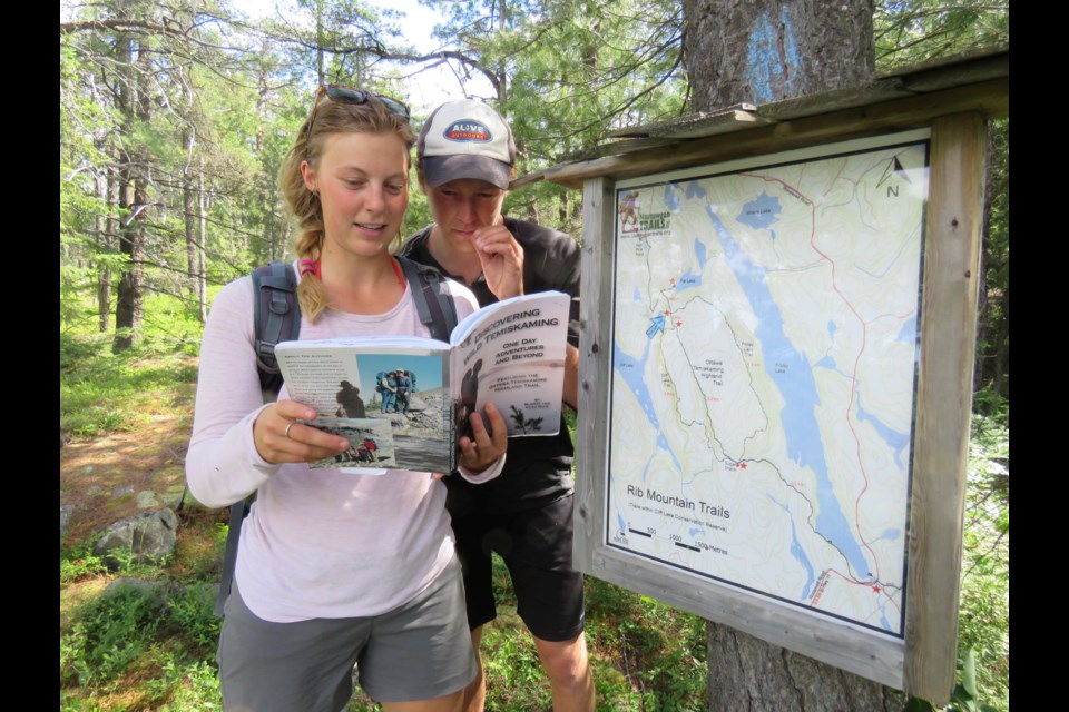
A favourite trail pick is the Cliff Lake Paddle and Hike featured on page 20 within Discovering Wild Temiskaming – One Day Adventures and Beyond. If you like vistas and overhangs this is the place to go. More than 50 trail offerings are perfect for day trips throughout the Little Clay Belt, Temagami, the upper Ottawa River through Englehart to Kirkland Lake. Find the book here.
“You are hiking above one of the most fascinating geological features in Temiskaming,” said Vicky and Murray Muir authors of the trail resource. “It is a three kilometre crevasse that splits Rib Mountain in two. We have snowshoed along the bottom of this crevasse in the winter. At one point a boulder ten feet in diameter wedged between the two sides of the crevasse brought us to a halt, until we discovered we could just crawl under it to continue.”
Canoe Access
The most direct route is from North Bay to the turnoff at the Stan Wattam Road north of Temagami. This is approximately 90 minutes. It is 19 km north of Temagami on the east side of Highway 11, north of the Roosevelt Road.
Turn right on the Stan Wattam Rd. cross the pipeline right-of-way and at about 0.5 km you will cross the railway line. From Highway 11 to the railway takes about three minutes of driving.
There is a flat parking area after crossing the Ontario Northland Railway tracks. You are there, with Rib Lake running north-south. There is a 30 m walk to the water, easy access; it is a safe place to leave your vehicle.
An island can be seen almost directly east, it is difficult to see the long island on the far shore that runs parallel to Rib Lake but that is your destination.
Then turn south and paddle along the east shoreline. It is only approximately 1.2 km from the start of the Rib Lake (mainland) to Cliff Lake portage, 20 to 30 minutes paddling or less than one hour of snowshoeing.
Move close to the shoreline and look for a low, flat rock, very discernible. This marks the entrance to the portage. There may or may not be a piece of flagging tape so keep your eyes peeled. This at WGS 84 17 T 597865 5229627 or N47° 12’ 46.2’ W79° 42’ 27.3”.
The portage is approximately 600 m long, relatively flat and well brushed. You will arrive at Cliff Lake amongst some cedars. There will be a few tin boats and an old boathouse. This will be 15 to 20 minutes.
The first glimpses of the cliffs on Cliff Lake are impressive!
The journey then takes an eastwards paddle, looking for the long bay to the north, and travellers might be tempted to start to wonder how they are ever going to reach the summit.
The long bay entrance leads to a turn northwards away from the view of the cliffs. Stay on the west (left) shore, and paddle almost to the end. Look for the small opening amongst the cedars.
This is a 15-20 minute snowshoe or paddle from the portage on Cliff Lake to accessing the trail and it is a small opening. Coming to the end of the bay, disembark just about anywhere and the trail will be evident in the immediate backshore as it parallels this bay. This is at 17 T 599403 5230414 or N47° 13’ 10.9” W79° 41’ 13.6”.
The Trail
You will walk NE for approximately 300 m and you will see one of the largest eastern white cedar trees in northern Ontario. At the base are the remains of an old trapper’s cabin. This side trail access is part of the main trail and is an easier access to the Cliff Lake lookouts and crevice. It is the most direct route.
Past the enormous white cedar is the first junction. Stay south on the main trail and walk on for a few minutes to come to another junction. The sign will say "trail to Fat Lake". Keep going south and walk on. The trail ascends through some white birch and comes to another trail that points eastward to Friday Lake. Continue on the south trail.
It will gradually start to climb upwards and move in a southerly direction. There are some flat plateaus, easy walking, through some jack and red pine stands. Tree-tops will be seen poking out the top of one crevice on the right. It is an interesting and unusual natural feature you will not see in north-eastern Ontario and well worth a look downwards.
Hike on until you come to the crevice and lookout junction. See the waypoint at 17 T 599863 5230613 or N47° 13’ 17.1” W79° 40’ 51.6”.
Here you will want to decide to walk SSW to the cliff lookouts following the blue blazes or turn eastward to see the interior crevasse. Alternatively, take the entire loop or walk in a linear fashion to the lookout, return to the junction and hike to the interior crevice.
If time is an issue walk to the lookouts on the blue-blazed trail. From here, it will take 10-15 minutes to reach the first dynamic lookouts. In total from the trailhead on Cliff Lake where you left your canoe or snowmobile to the cliffs is less than an hour hike.
At the lookouts, it is an impressive view to the west where Cliff Lake can be seen below and a little further the far, west shore of Rib Lake, where the journey began. Continue on the trail that travels along the cliffs then return on this trail or carry on, southwards to take the loop back, northwards to the crevasse-lookout junction.
This is another 7 km loop, time will vary as you will be stopping at various lookouts and also to look at the interior crevice.
The journey from a vehicle at Rib Lake or Highway 11 to the Cliff Lake lookouts will take, in total, six to eight hours return, depending on the season, amount of daylight and mode of travel.
See the map.
A crevasse is a deep crack in an ice sheet or glacier as opposed to a crevice that forms in rock. There is plenty of rock in northern Ontario, but the magnitude of this crevice makes it an anomaly. You will have to deviate off the main roads and travel the back roads to discover this exceptional feature.


