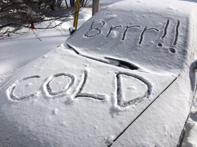
Don't be fooled by those spring-like temperatures we've enjoyed the past few day, it's about to get colder.
In fact, Environment Canada says, with the wind chill, it will feel like minus 30 overnight with the high Wednesday struggling to reach minus 7.
Today will see mainly cloudy skies with periods of rain beginning this afternoon then changing to periods of snow later on. Fog patches will dissipate this morning with wind westerly 20 km/h becoming north 20 near noon. High 6. Low minus 23.
If you are travelling north there is a snow squall watch for:
- New Liskeard - Temagami,
- Témiscaming area,
Brief, intense snowfall is expected to develop under the snow squall and visibility will be significantly reduced due to the heavy snow.
Snow squalls are expected today along a cold front.
Snow squalls cause weather conditions to vary considerably; changes from clear skies to heavy snow within just a few kilometres are common.


