Snow depth and water content are still above the long-term average for this time of year, reports the North Bay-Mattawa Conservation Authority (NBMCA).
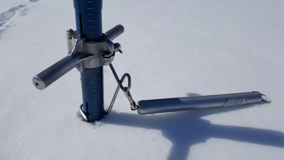
It measures snow depth and water content as part of its Flood Forecasting and Warning Program.
“The average snow depth for all sites is 33.3 cm (184% normal) and average water equivalence is 57 mm (213% normal),” said Joel Harrison NBMCA’s Water Resources Scientist. The average snow depth was 22.5 cm and water equivalence was 30.7 mm for all sites in 2017.
Snow is measured for depth and water equivalence at three locations in the watershed. Data for the season can be found on the NBMCA website at www.nbmca.ca.
North Bay Golf and Country Club (Chippewa Creek Watershed, North Bay)
|
Current Average Snow Depth for December 15, 2018 |
32.2 cm (220% of normal) |
|
Current Average Water Equivalence for December 15, 2018 |
56 mm (208% of normal) |
|
Average Snow Depth for December 15, 2017 |
23.3 cm |
|
Highest recorded snow depth for December 15 since 2012* |
23.3 cm in 2017 |
Corbeil Conservation Area (La Vase River Watershed, Corbeil)
|
Current Average Snow Depth for December 15, 2018 |
31.4 cm (168% of normal) |
|
Current Average Water Equivalence for December 15, 2018 |
55 mm (246% of normal) |
|
Average Snow Depth for December 15, 2017 |
22.6 cm |
|
Highest recorded snow depth for December 15 since 1988 |
43.2 cm in 1995 |
Shirley Skinner Conservation Area (Kaibuskong River Watershed, Chisholm)
|
Current Average Snow Depth for December 15, 2018 |
36.3 cm (164% of normal) |
|
Current Average Water Equivalence for December 15, 2018 |
60 mm (184% of normal) |
|
Average Snow Depth for December 15, 2017 Highest recorded snow depth for December 15 since 2007 |
21.5 cm 41.1cm in 2010 |


