A special weather statement from Environment Canada for:
- Burk's Falls - Bayfield Inlet,
- Huntsville - Baysville,
- Deep River - Whitney - Eastern Algonquin Park
Snow tonight and Wednesday morning followed by the risk of freezing rain Wednesday afternoon then a brief thaw with strong winds and rain.
A Colorado low will track northeast across Lake Huron and Georgian Bay Wednesday, bringing a dramatic change in weather with it.
A band of snow will move through the regions tonight with most areas getting accumulating snow. Snow amounts will range from 10 to 15 cm.
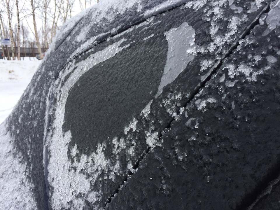
The snow will change over to rain later Wednesday with the passage of a warm front. Risk of freezing rain is also possible during the transition.
A brief thaw will arrive with temperatures rising a little above the freezing mark.
Environment Canada is closely monitoring this situation. Freezing rain warnings may be required as this event draws closer.


