It appears we're about to get whacked by a major winter storm.
Environment Canada has issued a winter storm watch for;
- North Bay - West Nipissing,
- Témiscamingue
- Greater Sudbury and vicinity,
- Burk's Falls - Bayfield Inlet,
- Huntsville - Baysville,
- Parry Sound - Muskoka
- Deep River - Whitney - Eastern Algonquin Park,
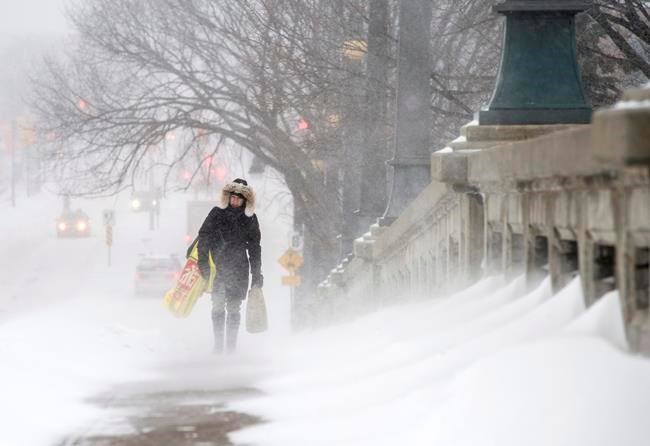
Snowfall amounts of 25 to 35 cm and blowing snow Tuesday into Wednesday.
Snow will begin during the day on Tuesday. Strong easterly winds gusting to 80 km/h will cause reduced visibility in blowing snow. Total snowfall amounts of 25 to 35 cm are likely before the snow tapers off during the day Wednesday.
This snow is associated with a Colorado low that will cross Ontario Tuesday and Wednesday.
Rapidly accumulating snow could make travel difficult over some locations.
Avoid travel if possible. If you must travel, keep others informed of your schedule and destination and carry an emergency kit and mobile phone.
Winter storm watches are issued when multiple types of severe winter weather are expected to occur together.


