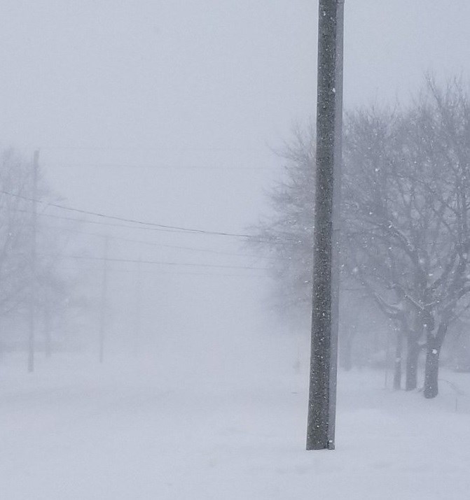
If you think the early November storm was a bad omen for another long winter in the North Bay area, you may be correct.
Dr. Doug Gilham, a Meteorologist with Canada's Weather Network believes this winter could be very similar to the nasty winter of 2018-19.
"When you look at the big picture, yes," Gilham admitted when asked about the comparison.
"But, how a winter is remembered is based on what happened right in your local area. That is impacted by the exact track of individual storms that helped to really build your snowpack and then you had extended periods of severe cold and we could do that again this winter."
But to say the snowfall will be the same would be too early to predict and many times that will depend on the individual storm.
"The amount of snow comes down to the exact track of the storm, you could duplicate it or the storms could end up moving further to the south or north so maybe the concentrated area of highest impact is not right in the North Bay area or maybe it is somewhere else nearby," he said.
However, on the bright side, Gilham believes we could lose the snow due to an upcoming warming trend.
"You actually have a shot at losing that because your area is going to get some rain," he said.
"A Colorado low will track from Thunder Bay to Timmins but you will get mostly rain from that and maybe a bit of snow on the backside and then early next week you will get a couple of days where the temperature will rise above freezing. That track appears it will keep things mild but possibly wet so you have a week here where you could lose your snow."
Gilham says temperatures in December should be near normal with some temperature swings.
But he says the winter forecast seems to reveal a very long winter.
"This should give us above-normal snowfall and to wrap things up it does not look like an early spring," he said.
"We expect temperatures to be on the cold side of normal - there will be some breaks - and we expect an active storm track into Great Lakes and northeastern Ontario and on into Atlantic Canada.
"Winter has stormed onto the scene early and we think that this is a preview of what the season as a whole will hold," he said.


