It looks like North Bay and area is likely to dodge the effects of an Alberta clipper forecast for today.
Environment Canada has cancelled a special weather statement for North Bay, Powassan, and Mattawa.
However, special weather statements continue to the west and south of us.
Driving south?
For Huntsville and Burk's Falls, widespread snowfall is likely tonight.
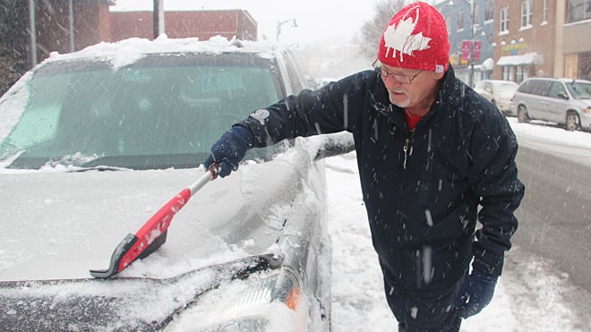
An Alberta Clipper low pressure area will sail across Southern Ontario tonight into Tuesday. This weather disturbance will bring a general snowfall of 5 to 10 cm with it by Tuesday morning.
The snow is expected to begin late this afternoon and taper off Tuesday morning. Although localized amounts of 10 to 15 cm are possible, the snowfall warning criterion of 15 cm snow in 12 hours is not expected to be reached.
Poor winter driving conditions are likely. Untreated roads may become snow covered and slippery.
If you are driving west, a special weather statement has been issued for Sudbury, West Nipissing, and the French River.
An Alberta Clipper is forecast to sail across Northeastern Ontario tonight. Snow will begin today and continue into Tuesday as the clipper moves through.
Latest indication suggest total snowfall amounts in the 10 to 15 cm range in many areas by the time the snow tapers off to scattered flurries on Tuesday.
Snowfall amounts approaching 15 cm are possible in a few localities near Lake Huron and Georgian Bay. A snowfall warning has been issued for the Espanola - Killarney region where snowfall amounts exceeding 15 cm in 12 hours appear most likely.


