Update: 5:15 p.m.
Tornado warning ended for:
- North Bay - Powassan - Mattawa,
- West Nipissing - French River
Tornadoes are no longer expected in the region.
Severe thunderstorm warning issued for:
- West Nipissing - French River,
- North Bay - Powassan - Mattawa,
Current details:
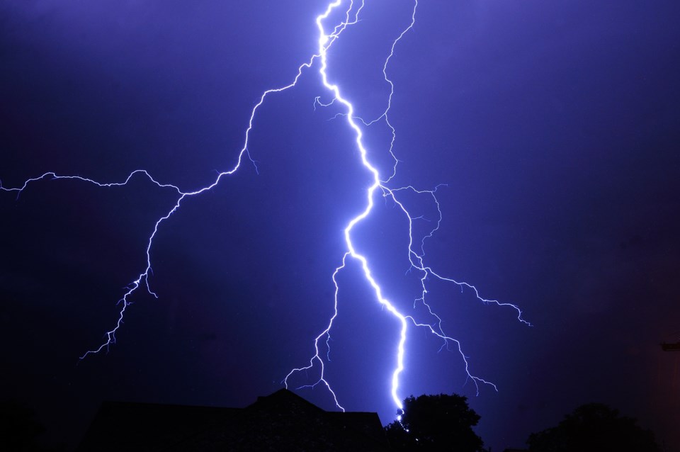
At 5:18 p.m. EDT, Environment Canada meteorologists are tracking a severe thunderstorm capable of producing very strong wind gusts, up to nickel size hail and heavy rain.
This severe thunderstorm is located 6 kilometres south of Restoule Lake, moving northeast at 90 km/h.
Hazard: 90 km/h wind gusts and nickel size hail.
Locations impacted include:
Restoule Provincial Park, Restoule, South Bay Provincial Park, Nipissing, Powassan, Stormy Lake, Restoule Lake and Bear Valley.
-----
A Tornado warning replaces severe thunderstorm warning for North Bay -West Nipissing - French River,
At 5:04 p.m. EDT, Environment Canada meteorologists are tracking a severe thunderstorm that is possibly producing a tornado. Damaging winds, large hail and locally intense rainfall are also possible.
A severe thunderstorm capable of producing a tornado is located near South Bay Provincial Park, moving east at 85 km/h.
Hazard: Tornado and ping pong ball size hail.
Locations impacted include:
Mattawa River Provincial Park, Callander Bay, Booth, Corbeil, Long Lake, Mink Lake, Lake Nosbonsing, Loren Lake, Walder Lake, Whitethroat Lake, Turtle Lake, Moosegrass Lake, Bigfish Lake, Brumal Lake, Tilliard Lake, Bonfield, Barse Lake, Pine Lake, Froggy Lake and La Chapelle Lake.
This is a dangerous and potentially life-threatening situation.
Take cover immediately, if threatening weather approaches. If you hear a roaring sound or see a funnel cloud, swirling debris near the ground, flying debris, or any threatening weather approaching, take shelter immediately.
Go indoors to a room on the lowest floor, away from outside walls and windows, such as a basement, bathroom, stairwell or interior closet. Leave mobile homes, vehicles, tents, trailers and other temporary or free-standing shelter, and move to a strong building if you can. As a last resort, lie in a low spot and protect your head from flying debris.
A severe thunderstorm warning issued for:
- South River - Burk's Falls
- Bayfield Inlet - Dunchurch,
At 4:25 p.m. EDT, Environment Canada meteorologists are tracking a severe thunderstorm capable of producing very strong wind gusts, up to nickel size hail and heavy rain.
This line of severe thunderstorms is located from Moose Lake to Jocko, moving east at 90 km/h.
Hazard: 100 km/h wind gusts and nickel size hail.
Locations impacted include:
North Bay, Noganosh Lake Provincial Park, Restoule Provincial Park, Restoule, South Bay Provincial Park, Widdifield Forest Provincial Park and Jocko Rivers Provincial Park.


