Here comes the rain again.
With 10-15 mm expected to begin this evening around 6:30, and with a risk of thunderstorms that could result in an additional 10-15 mm, the North Bay-Mattawa Conservation Authority is issuing a Watershed Conditions Statement – Flood Outlook.
“The ground has pretty much thawed, but it is saturated. If we had more vegetation or leaf out on the trees, they could be absorbing some of the rain. But right now, with the amount forecast, and intensity of rainfall that often accompanies thunderstorms, we need to be aware that water levels will be impacted,” said Katelyn Lynch, NBMCA Duty Officer.
And there’s more rain to come. The current five-day forecast is calling for 25 to 50 mm of rain for the watershed Sunday into Monday; however, there is still some uncertainty with this forecast.
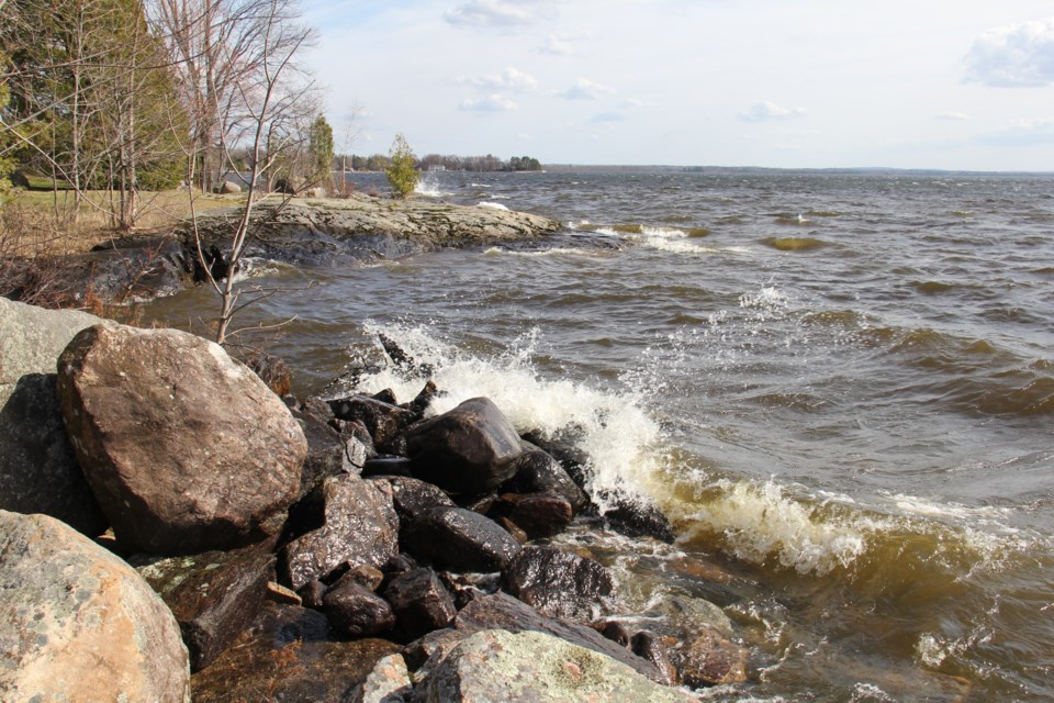
Lake Nipissing is currently at its maximum operating level, 195.95m.
It is anticipated that with the forecast precipitation over the next four days, the lake level could rise to a level of concern.
Water levels and flows across the remainder of the North Bay – Mattawa region remain elevated due to recent precipitation and the last of the snow melt over the past week.


