Environment Canada has changed its snowfall warning for the North Bay-West Nipissing area into a winter storm watch.
Instead of 20 to 30 cm of snowfall, Environment Canada is now expecting our region to receive 15 to 20 centimetres of the white stuff.
Here's what Environment Canada is expecting:
Snow at times heavy will begin Saturday evening and end Sunday morning. Total snowfall amounts of 15 to 20 centimetres are expected. In addition, gusty winds will cause local low visibility and blowing snow.
There will also be a snowfall event tonight and early Saturday with 5 to10centimetres of snow. Snow will mix with or change to rain before the more significant snowfall begins Saturday evening.
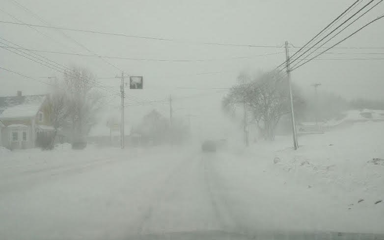
Rapidly accumulating snow could make travel difficult over some locations. Visibility may be suddenly reduced at times in heavy snow.
If visibility is reduced while driving, slow down, watch for taillights ahead and be prepared to stop.
Please continue to monitor alerts and forecasts issued by Environment Canada.
To report severe weather, send an email to ec.cpio-tempetes-ospc-storms.


