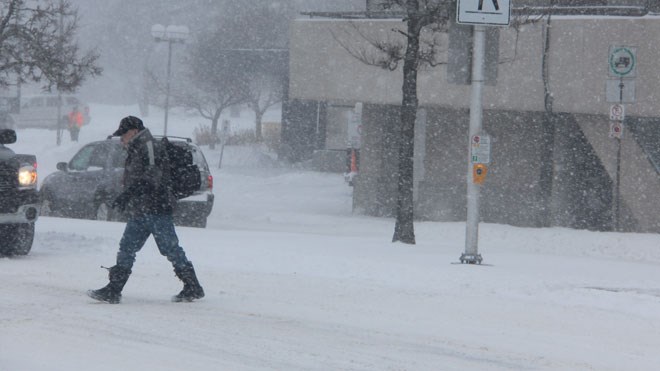
Expect some heavy snow over the next 24 hours!
Environment Canada has issued a snowfall warning for:
- North Bay - West Nipissing,
- Burk's Falls - Bayfield Inlet,
- Huntsville - Baysville,
- Témiscaming area, Que
- Parry Sound - Rosseau - Killbear Park
- Deep River - Whitney - Eastern Algonquin Park
We'll see a significant late season snowfall today and tonight, hitting the North Bay area around 2 p.m.
Snow is expected to move into portions of Ontario later this morning or early afternoon. Total snowfall accumulations of 10 to 20 cm are likely by Monday morning.
The heaviest snow is generally expected in a swath of regions from the northern tip of the Bruce Peninsula toward Algonquin. Some areas immediately south of this swath may change over to rain for a period of time which would result in lesser snowfall accumulations.
There will also be a risk of freezing rain in some areas.
Surfaces such as highways, roads, walkways and parking lots may become difficult to navigate due to accumulating snow.
Prepare for quickly changing and deteriorating travel conditions.
Snowfall warnings are issued when significant snowfall is expected.


