Following a beautiful weekend, more snow is coming Wednesday.
A special weather statement has been issued for:
- North Bay - West Nipissing
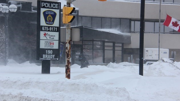
- Greater Sudbury and vicinity
- New Liskeard - Temagami
- Burk's Falls - Bayfield Inlet
- Huntsville - Baysville
- Deep River - Whitney - Eastern Algonquin Park
A winter storm is likely Wednesday and Wednesday night.
A winter storm from a Texas Low appears likely to affect much of southern Ontario and parts of northeastern Ontario.
The latest indications suggest that snow will move into southwestern Ontario and the Golden Horseshoe Wednesday morning and spread northeastward reaching the Quebec border late Wednesday afternoon.
There remains much uncertainty regarding the track of this low, but total snowfall amounts of 10 to 25 cm are possible by Thursday morning.
Motorists should be prepared for poor winter driving conditions due to low visibility in heavy snow and quickly accumulating snow.


