A look out your window will probably confirm this!
The snowpack depth has increased 38 cm (over a foot) since the North Bay-Mattawa Conservation Authority’s last snow survey two weeks ago, setting new records at all three sites.
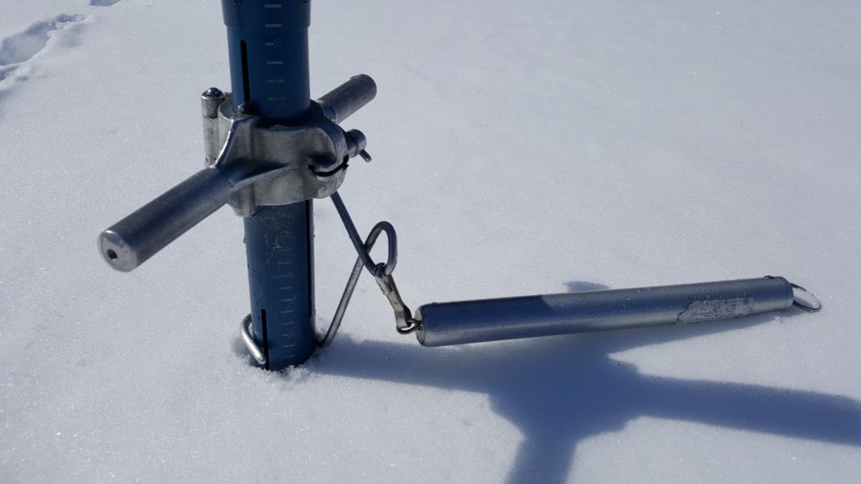
The Authority started measuring snow depth in 1987 as part of its Flood Forecasting Program.
“The snow depths at all three sites are almost twice the long-term average for this time of year. The average depth for the three sites was 85 cm, compared to the old record of 73 cm measured in 2001,” said Joel Harrison, NBMCA’s Water Resource Scientist.
The snowpack is relatively light and fluffy.
While the water equivalence of the snowpack is 148.3 mm, 50 per cent above average for this time of year, the highest water equivalence was measured in 2001, at 189mm.
Summary, Change & Comparison
Average Depth for all sites 84.6cm (179% of normal)
Average snow water equivalence for all sites 148.3mm (148% of normal)
Change in average snow depth since Jan 31/2019 13.9 cm
Change in average water equivalence since Jan 31/2019 37.7mm
Average Depth for all sites mid-Feb 2018 45.9cm
Average water equivalence for all sites mid-Feb 2018 80.3mm
North Bay Golf and Country Club (Chippewa Creek Watershed, North Bay)
|
Current Average Snow Depth for February 14, 2019 |
84.4 cm (180% of normal) |
|
Current Average Water Equivalence for February 14, 2019 |
164 mm(146% of normal) |
|
Average Snow Depth for February 14, 2018 |
52.2 cm |
|
Highest recorded snow depth for February 14 since 2012* |
84.4 cm in 2019 |
Corbeil Conservation Area (La Vase River Watershed, Corbeil)
|
Current Average Snow Depth for February 14, 2019 |
84.2 cm (177% of normal) |
|
Current Average Water Equivalence for February 14, 2019 |
24 mm(129% of normal) |
|
Average Snow Depth for February 14, 2018 |
45.8 cm |
|
Highest recorded snow depth for February 14 since 1988 |
84.2 cm in 2019 |
Shirley Skinner Conservation Area (Kaibuskong River Watershed, Chisholm)
|
Current Average Snow Depth for February 14, 2019 |
85.2 cm (180% of normal) |
|
Current Average Water Equivalence for February 14, 2019 |
157 mm (169% of normal) |
|
Average Snow Depth for February 14, 2018 Highest recorded snow depth for February 14 since 2007 |
39.6 cm 85.2 cm in 2019 |


