Environment Canada has issued a severe thunderstorm watch for:
- North Bay - West Nipissing, French River,
- Greater Sudbury and vicinity
- New Liskeard - Temagami,
- Burk's Falls - Bayfield Inlet,
- Huntsville - Baysville,
- Mattawa
- New Liskeard - Temagami,
- Bayfield Inlet - Dunchurch,
- Barrie
- Témiscaming area, Que.
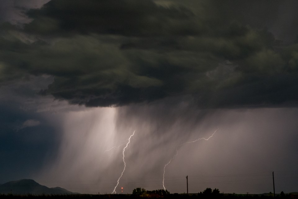
Conditions are favourable for the development of severe thunderstorms that may be capable of producing strong wind gusts.
Hail is also possible. Remember, severe thunderstorms can produce tornadoes.
A cold front is expected to sweep through this afternoon bringing showers and a few thunderstorms along with it. There is a potential that some of these thunderstorms may be severe with strong gusty winds being the main threat. Winds gusts of 90 km/h are possible in these severe thunderstorms.
The average temperature in North Bay for April 27 is 11.8, by noon it was 28 breaking the old record of 26.5 set in 1990.
Lightning kills and injures Canadians every year. Remember, when thunder roars, go indoors!
The Office of the Fire Marshal and Emergency Management recommends that you take cover immediately if threatening weather approaches.
Severe thunderstorm watches are issued when atmospheric conditions are favourable for the development of thunderstorms that could produce one or more of the following: large hail, damaging winds, torrential rainfall.


