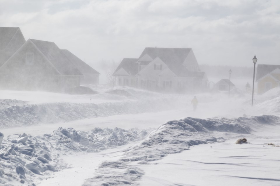
A winter storm with significant snow and blowing snow is threatening to hit Tuesday and into Wednesday.
Environment Canada has issued a special weather statement for:
- North Bay - West Nipissing,
- Greater Sudbury and vicinity,
- New Liskeard - Temagami,
- Témiscaming area, Que.
- Burk's Falls - Bayfield Inlet,
- Huntsville - Baysville
- Parry Sound - Muskoka
- Deep River - Whitney - Eastern Algonquin Park,
A low-pressure brewing over the southern plains states may intensify into a winter storm as it tracks over southern Ontario Tuesday. Snow is expected to arrive during the day Tuesday and will likely continue Tuesday night into Wednesday.
There is potential for 15 to 25 cm of snow across the area, with higher amounts possible should this low-pressure system become more moisture-laden than currently expected.
Strong and gusty easterly winds may cause low visibility in blowing snow.
This weather system may have a significant impact on travel.
Watches and warnings may be required as this event draws closer.


