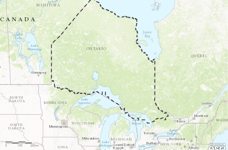
A new interactive map that allows users to explore the many community, administrative and service provider boundaries in the northern regions of Ontario has been launched.
The Northern Ontario Boundary Map is loaded with features for users, including the ability to see multiple administrative boundaries at once, obtain information on various organizations, use snippets of the map for papers and print, and share the map on social media.
“When LEPC (Local Employment Planning Council) raised the idea of a boundary map for the NSWPB/Thunder Bay region, we thought it was information all of the northern regions would benefit from and were excited to partner on the initiative with them,” said Charles Cirtwill, President of Northern Policy Institute.
“As a standing open invitation, we encourage those who have comments on what should be added to the map to contact us, so we can continue to improve the tool.”
The map aims to provide accurate and current boundaries available from various governments, communities and service providers.
Future stages of the project will look at adding additional boundaries to the map.
See something missing? Send updates or additions to [email protected]
“This map is another educational tool that Northerners now have available to them, when looking to access services and make informed decisions," said Madge Richardson, Executive Director, Your Local Employment Planning Council.


