The MNR has issued what it calls a "
The outlook gives early notice of the potential for flooding based on weather forecasts calling for heavy rain, snow melt, high winds or other conditions.
A low pressure system moving through northeastern Ontario is bringing mixed rain and snow for the southern sections of northeastern region.
"Heaviest concentrations are expected in a band from the Bruce Peninsula and Georgian Bay to Pembroke, and North Bay-Mattawa, with accumulations of 15-25mm, with up to 5-7cm falling as snow towards the French River. Northeastern Ontario is forecast to receive 2-15mm of precipitation falling as rain in the southern sections of the region, and changing to snow and freezing rain further northwards through the region.
Thunderstorms could develop from Manitoulin Island toward Sudbury, North Bay and the Quebec border.
On Tuesday southern and northeastern Ontario are forecast to receive trace to 10mm of precipitation as a mix of rain and snow in the central parts of Northeast Region as the low pressure system moves out into Quebec.
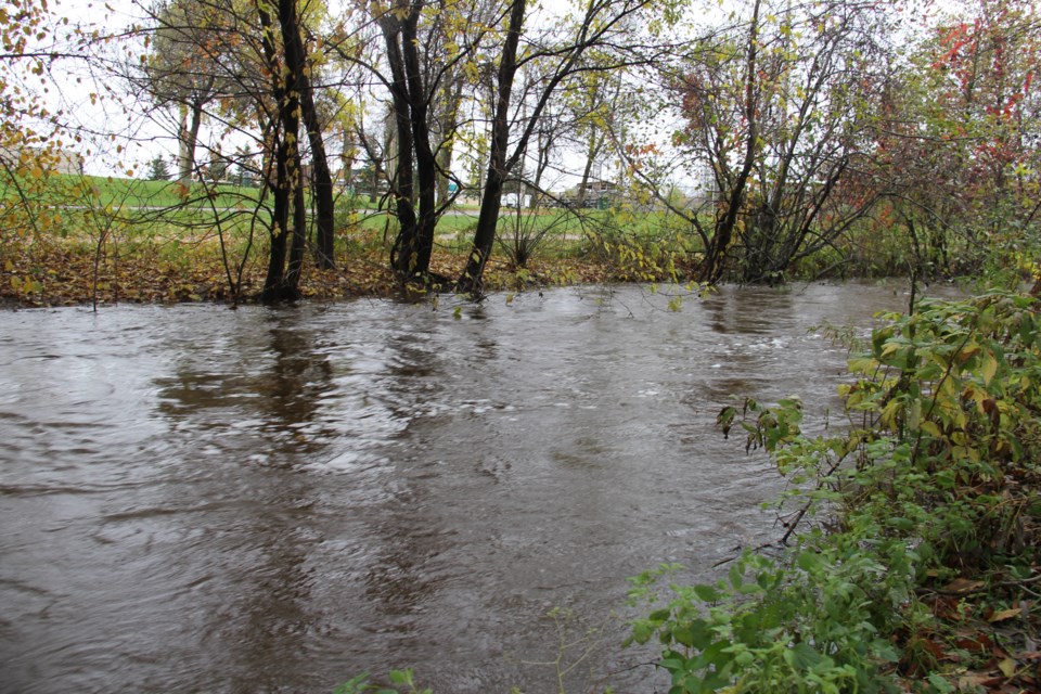
A number of watersheds have received considerable rainfall over the past week, and snow continues to melt through central Ontario, and the southern portions of northeast region.
Water levels and flows across much of south central and eastern Ontario are expected to remain elevated through the week, and levels and flows through northeast region will increase with the onset of significant snowmelt.
The risk of flooding and high water continues as runoff from recent rain and seasonal snowmelt transit through local watersheds.
A close watch on local forecasts and conditions is recommended.
WATERSHED CONDITIONS STATEMENT - FLOOD OUTLOOK:gives early notice of the potential for flooding based on weather forecasts calling for heavy rain, snow melt, high winds or other conditions


