Break out the sandbags, Lake Nipissing has now reached the level where there is the potential for damage to shoreline properties and properties in the Parks Creek neighbourhood.
That's prompted the North Bay-Mattawa Conservation Authority (NBMCA) to put the Parks Creek Flood Control Structure into full operation this afternoon.
“Lake Nipissing reached 196.22 metres today, and it is forecasted to continue rising for the next 10 to 15 days," said Kurtis Romanchuk, NBMCA Duty Officer. "This may pose a threat to properties along the Lake Nipissing and Callander Bay shoreline, as well as along the lower La Vase River, particularly if there are strong winds or waves,”
See: Rain, snow and ice pellets extend flood warning in district
Winds are predicted to be from the north at 13 km/h hour tomorrow so wave action should not be a problem. But the wind switches to the southwest and northwest in the coming days which could present a problem for the North Bay shoreline.
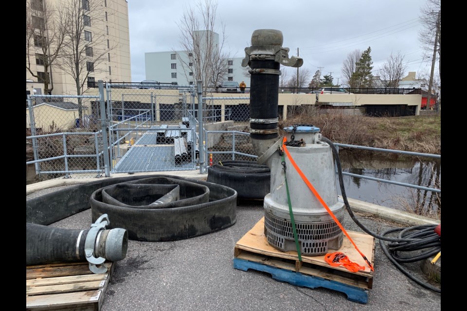
The Parks Creek Backflood Control Structure is part of NBMCA’s natural hazard program and is located in Eva Wardlaw Conservation Area at the mouth of Parks Creek on Lake Nipissing near Lakeshore Drive and Marshall Avenue. The Conservation Area is now closed and will remain closed while the backflood control structure is in operation.
“The structure was installed in 1994-95 to help prevent Lake Nipissing from backing up Parks Creek and flooding its surrounding low lands causing basement flooding and overcharging the municipal storm sewer system for approximately 350 homes,” said Romanchuk.
Since the Flood Warning was first issued on April 18, more than 105mm of precipitation has fallen, and more than 100mm of snow-water-equivalence has melted in the North Bay-Mattawa area. Lake Nipissing receives a large percentage of its runoff from northern watersheds such as Temagami where snowmelt is continuing and accumulating in the system. That, together with the up to 20 mm of rain forecast over the next five days, will add to the lake’s rise in water level.
Elsewhere in the watershed, there is flooding in low lying areas along the Mattawa River, and the NBMCA continues to monitor the Ottawa River forecast for impacts to the Town of Mattawa. There are signs that water levels are slowly receding in some area rivers and streams, but these may be impacted by additional precipitation.
NBMCA has extended its Flood Warning to next Tuesday and reminds people to keep children and pets away from watercourses and streambanks for safety, due to the cold, fast-moving water.


