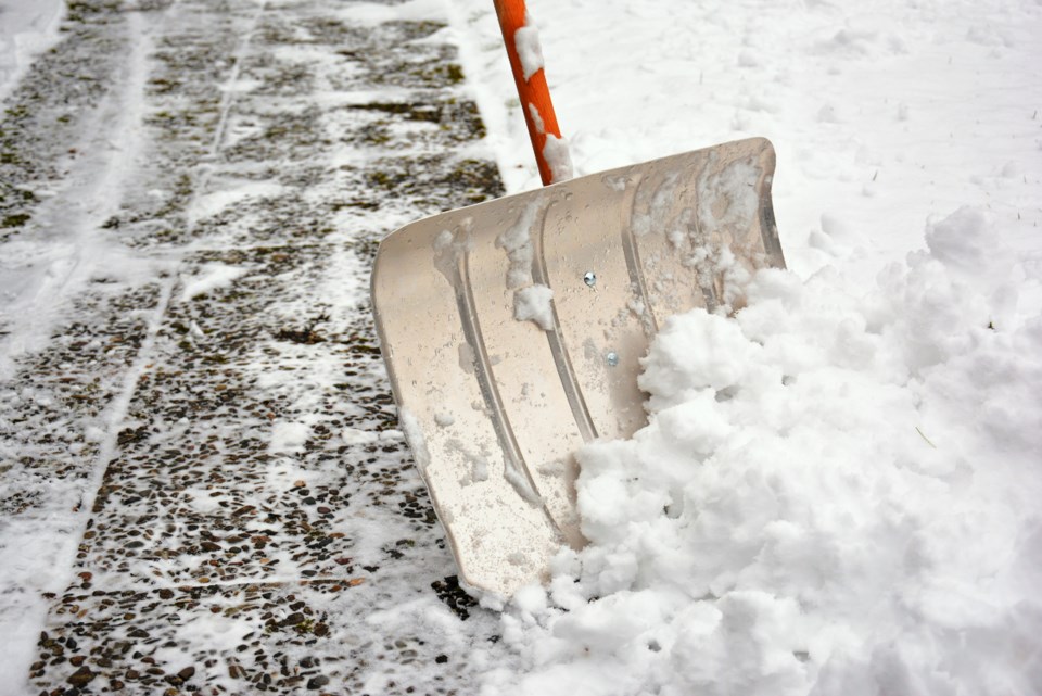
No worries about a white Christmas in this area as Environment Canada says we're likely to get a lot of snow Friday and Saturday.
It's issued a special weather statement for:
- North Bay - West Nipissing,
- New Liskeard - Temagami,
- Burk's Falls - Bayfield Inlet,
- Témiscaming area, Que
A significant snowfall is possible Friday.
Portions of northeastern and central Ontario will be on the western edge of a large weather system Friday, although the heaviest snow will likely fall over Quebec.
Some areas may see snowfall amounts approaching 15 cm by the time the snow tapers off Saturday morning.
Precipitation may initially start out as rain before changing to snow. There is also a threat of freezing rain.
Travel may be significantly impacted Friday into Saturday morning.
Meanwhile, a special weather statement has also been issued for Deep River - Whitney - Eastern Algonquin Park.
Freezing rain possible Thursday night into Friday morning.
Precipitation associated with a major weather system is expected to move into Eastern Ontario Thursday night. A few hours of freezing rain are possible Thursday night into early Friday morning, particularly in the Ottawa Valley.
The threat of freezing rain should end early Friday morning as temperatures rise above the freezing mark.


