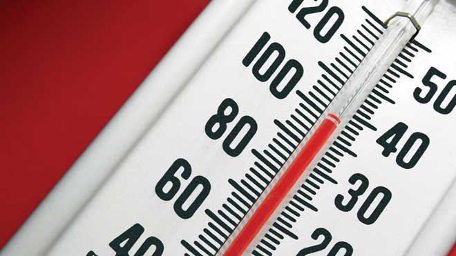
If you are finding the recent heat wave a little too hot to handle, you'll be happy to hear that relief is on the way.
While the heat warning continues today with most areas seeing highs reaching into the high twenties to low thirties, a cold front is approaching this evening and the high tomorrow will be just 23.
But we set a record high yesterday as the temperature climbed to 31.9, smashing the old record of 29.4 set in 1944.
We might set another record today as temps are expected to hit 31, with the record being 31.8 set in 1988.
And while thunderstorms are expected locally this afternoon, there is actually a severe thunderstorm watch in effect for Témiscaming and the Ville-Marie area.
Conditions are favourable for the development of severe thunderstorms that may be capable of producing strong wind gusts, large hail and heavy rain.
Be careful again today. The humidex will be 39 and the UV index will be 9, or very high, so be sure to have plenty of sunscreen on hand if you venture outdoors.
Heat warnings are in effect for:
- North Bay - Powassan - Mattawa
- West Nipissing - French River
- Burk's Falls - Bayfield Inlet
- Greater Sudbury and vicinity
- Parry Sound - Muskoka
- Kirkland Lake - New Liskeard - Temagami
- Témiscamingue


