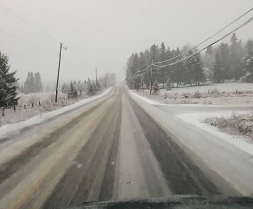
You might be wise to gas up the snowblower, get out the shovel and find last winter's car snow brush.
A big early-winter snowfall may be coming!
Environment Canada has issued a special weather statement for:
- North Bay - West Nipissing,
- Témiscamingue
- Greater Sudbury and vicinity,
- New Liskeard - Temagami
- Kirkland Lake
Significant snowfall is possible late Friday into Saturday.
Snow is expected to begin Friday afternoon and persist into Saturday. Total snowfall accumulations of 10 to 15 centimetres are possible by Saturday morning.
Light snow will continue for most of Saturday before coming to an end later Saturday afternoon or Saturday evening.
This snow is the result of a low-pressure system that will track over the area Friday night.
At this time, there is some uncertainty in the exact track of this system and associated snowfall totals. Snowfall warnings may be required as this event draws closer.


