Lots of accidents reported down south, now that freezing rain is coming here.
Environment Canada has issued a freezing rain warning for:
- North Bay - West Nipissing,
- Greater Sudbury and vicinity,
- Témiscaming area, Que
- Burk's Falls - Bayfield Inlet,
- Huntsville - Baysville,
- Town of Parry Sound - Rosseau - Killbear Park
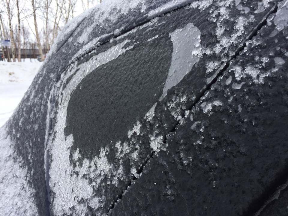
Ice build-up due to freezing rain is expected or occurring.
Freezing rain beginning Sunday afternoon or evening.
A large low pressure area will bring a messy mix of precipitation to the region. Ice pellets, possibly mixed with snow will move in from the south on Sunday morning near Lake Huron then in remaining areas during the afternoon. The precipitation will change over to freezing rain Sunday night, which is expected to persist into Monday morning.
Ice accumulations combined with strong northeast winds gusting to the 50 to 70 km/h range may result in power outages due to fallen tree limbs and power lines.
There is uncertainty with regards to precipitation amounts and which areas will be most affected. There is potential for this to be a high impact freezing rain event, particularly Sunday night into Monday.
Surfaces such as highways, roads, walkways and parking lots will become icy, slippery and hazardous. Ice build-up may cause tree branches to break.
Consider postponing non-essential travel until conditions improve.
Also, a Winter storm watch issued for:
- New Liskeard - Temagami,
Major winter storm threatening beginning Sunday.
A moisture laden low approaching from southwest of the Great Lakes is expected to bring a winter storm to much of Northern Ontario.
Snow mixed with ice pellets is expected to arrive Sunday afternoon. Snow and ice pellet accumulations of 10 to 15 cm are quite possible by Monday morning. The precipitation may also change over to freezing rain by Monday morning.
Ice pellets mixed with snow or freezing rain are expected to continue through Monday.
Travelling conditions will deteriorate quickly when the snow arrives on Sunday.
Surfaces such as highways, roads, walkways and parking lots may become icy and slippery.
Avoid travel if possible.


