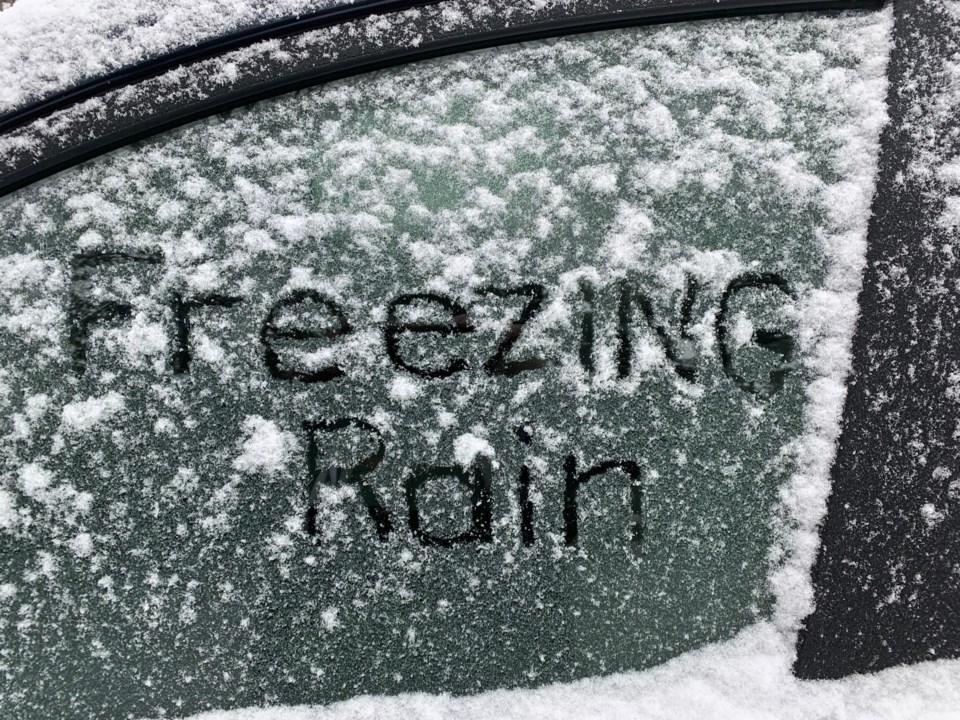
A wintry mix of precipitation arrives by early Thursday afternoon and will begin as snow and ice pellets before transitioning to freezing rain. Freezing rain will have ice accretion of a few millimetres.
Snow will taper to flurries Friday morning with total accumulations of 5 to 10 cm possible.
Freezing rain warning in effect for:
- North Bay - Powassan - Mattawa
- West Nipissing - French River
- South River - Burk's Falls
- Bayfield Inlet - Dunchurch
- Huntsville - Baysville
Surfaces such as highways, roads, walkways and parking lots may become icy and slippery. Slow down driving in slippery conditions. Watch for taillights ahead and maintain a safe following distance. Be prepared to adjust your driving with changing road conditions.
In addition, there is a snowfall warning in effect for:
- Greater Sudbury and vicinity
- Temiskaming Shores - Temagami
- Kirkland Lake - Englehart
Snow, at times heavy, with total accumulations of 15 to 20 cm. with peak snowfall rates of 1 to 3 cm per hour.Thursday afternoon to Friday morning.
Snow will begin near noon on Thursday for areas near the North Channel and Sault Ste. Marie before advancing northeastward through Thursday afternoon. Snow may mix with ice pellets at times, especially along and south of Highway 17, which may reduce accumulations. Snow will taper in intensity from the west through Friday morning.
Be prepared to adjust your driving to changing road conditions. Visibility may be suddenly reduced at times in heavy snow. Surfaces such as highways, roads, walkways, and parking lots may become difficult to navigate due to accumulating snow. If visibility is reduced while driving, slow down, watch for tail lights ahead, and be prepared to stop.


