It looked like a decent weekend on paper, but Environment Canada says hold your horses!
It has issued a special weather statement for:
- North Bay - West Nipissing,
- Greater Sudbury and vicinity,
- New Liskeard - Temagami,
- Témiscaming area, Que
- South River - Burk's Falls,
- Deep River - Whitney - Eastern Algonquin Park,
- Bayfield Inlet - Dunchurch,
- Huntsville - Baysville,
- Parry Sound - Muskoka
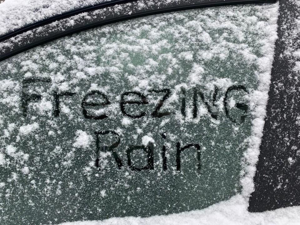
There is the potential for freezing rain Saturday night into Sunday morning and snow and blowing snow Sunday evening.
Precipitation associated with a strong low-pressure system may begin as snow overnight Saturday night or early Sunday morning but is expected to quickly transition to freezing rain or ice pellets and then to rain by Sunday afternoon.
The precipitation is then expected to change back to snow late Sunday afternoon or Sunday evening. The latest analysis suggests total snow and ice pellet accumulations in the 5 to 10 cm range by Monday morning.
Surfaces such as highways, roads, walkways and parking lots may become icy and slippery as the plus four high on Sunday plunges to an overnight low of minus 17.
In addition, strong winds will develop Sunday evening with gusts to 70 km/h possible Sunday night into Monday afternoon resulting in poor visibility in blowing snow.
Visibility may be significantly and suddenly reduced to near zero making travel hazardous.
There is still some uncertainty regarding the track of this low-pressure system originating in Texas. Environment Canada meteorologists will continue to monitor this developing situation closely.
Monday will see cloudy skies and a high of only minus 10, about 6 degrees below normal.


