Keep that raincoat handy tomorrow!
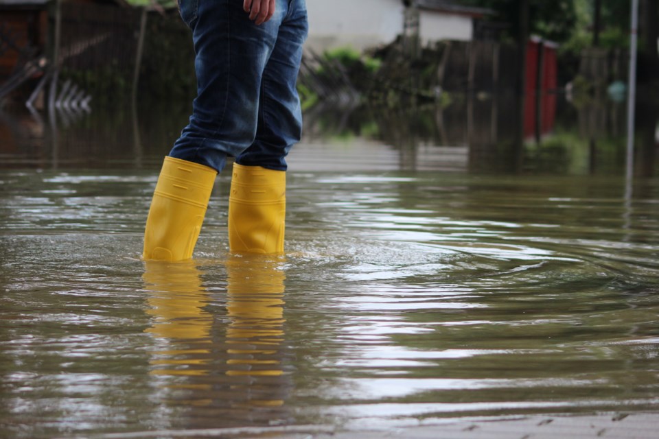
A large low-pressure system is expected to move into the region starting tomorrow morning. This slow moving cold front will bring widespread rainfall of 20 to 40 mm of rain and thundershowers, prompting the North Bay-Mattawa Conservation Authority to issue a Flood Outlook as part of its flood forecasting program.
The Watershed Conditions Statement – Flood Outlook gives early notice of the potential for flooding based on weather forecasts calling for heavy rain, high wind or other conditions that could lead to high runoff, lakeshore flooding or erosion.
“Higher amounts of rain, up to 50mm are possible in the thunderstorms which are forecast to start in the afternoon. We’ll be monitoring the system as it passes through and updating this outlook if necessary,” said Katelyn Lynch, NBMCA’s Duty Officer.
“Stream flows and levels in the North Bay – Mattawa region are at or below normal levels for this time of year. Widespread flooding is not anticipated, however fast flowing water and flooding of low lying areas and roads may be expected,” she added.
Environment Canada has issued a weather statement or:
Burk's Falls - Bayfield Inlet, Ont. (044200)
- North Bay - West Nipissing,
- Burk's Falls - Bayfield Inlet,
- Huntsville - Baysville,
People in or near this area should be on the lookout for adverse weather conditions and take necessary safety precautions.
NBMCA advised residents, especially those in low lying areas, to monitor the conditions as they develop. all residents and children to stay away from all watercourses and structures such as bridges, culverts, and dams. Elevated water levels, fast flowing water, and slippery conditions along stream banks could make these locations extremely dangerous. Children should be warned to stay away from all watercourses.


