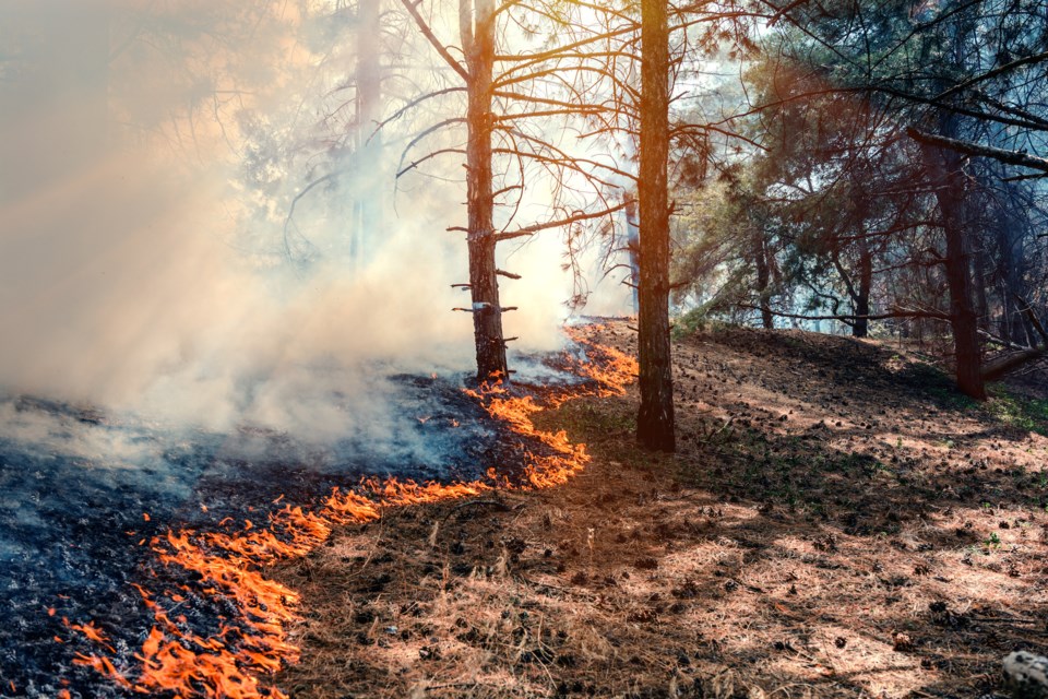
The Ministry of Natural Resources and Forestry is reporting six new forest fires in the region as of late afternoon. They are located in the Wawa, Kirkland Lake, Sudbury and North Bay areas.
There are a total of 30 active fires burning across the Northeast Region and the fire hazard in the district remains moderate.
A full report issued today by the Ministry of Natural Resources and Forestry follows:
Northeast Region
There were six new forest fires confirmed by late afternoon on July 6.
• Wawa 9 is located approximately 12 kilometres east of Goudreau, on the west side of Cawdron Lake. It is being held at 0.2 of a hectare.
• Kirkland Lake 4 is not yet under control, it measures 0.3 of a hectare and is located approximately 5 kilometres southwest of Kenogami Lake.
• North Bay 20 is being held at 0.1 of a hectare. It is located near the shoreline of Lake Temagami, just south of Denedus Island.
• Sudbury 50 is being held at 0.3 of a hectare south of Bushy Lake.
• North Bay 22 is not yet under control at 0.3 of a hectare. It is located on the shoreline between Little McDougal Lake and Big McDougal Lake, approximately 12 km west of Thorne.
• North Bay 23 was discovered late this afternoon north of Porcupine Creek, approximately 1 kilometre west of the Quebec border. It is not yet under control at 0.1 of a hectare.
In total, there are 30 active fires across the region. Seven fires are being held, 15 are under control and one is being observed. At the time of this update, there are a total of seven fires not under control.
• Chapleau 5 is not yet under control at 0.1 of a hectare. It is located west of Woman Lake.
• Chapleau 3 is 40 hectares and not under control. This fire is located east of Upper Green Lake.
• Sault Ste. Marie 6 is not under control at 0.2 of a hectare. This fire is located on an Island in Marshland Lake.
• Sudbury 46 is 0.2 of a hectare and not under control. The fire is located within Spanish River Provincial Park.
The fire hazard ranges from low to extreme across the region. Bancroft and its surrounding areas remain under an extreme hazard. With scattered only precipitation over the last few days, many areas – mostly in the central and southern portions of the region – continue to show a high hazard.
To see the fire hazard near you, consult the interactive fire map.
Follow Ontario’s outdoor burning regulations
Aviation, Forest Fire and Emergency Services would like to remind the public to use caution when performing any outdoor burning. In order to dispose of yard waste and woody debris, we encourage you to use methods such as composting or using your local landfill. If you must burn, follow Ontario’s outdoor burning regulations.
Fires are to be ignited no sooner than two hours before sunset and extinguished no later than two hours after sunrise.
Always have tools/water adequate to contain the fire at the site.
Know the rules for safe outdoor burning. To consult the full set of outdoor burning regulations under Ontario’s Forest Fire Prevention Act, visit our website.
More Information
For updates on the fire situation, visit here or follow us on Twitter @ONforestfires.


