Update: 3:26 p.m.
Freezing rain is expected or occurring.
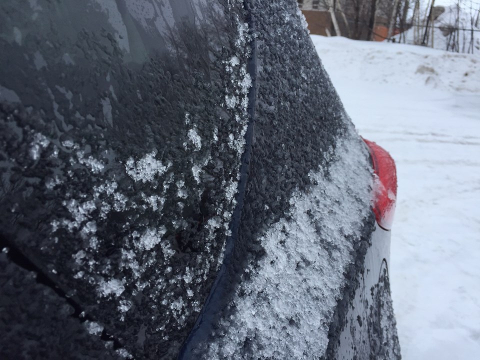
Freezing rain likely on Friday.
Periods of freezing rain is expected Friday near noon or early afternoon. Total ice accretion of a few millimeters is possible.
The freezing rain threat will end Friday afternoon or early evening as the system moves east into Quebec.
Surfaces such as highways, roads, walkways and parking lots may become icy and slippery. Be prepared to adjust your driving to changing road conditions.
Freezing rain warnings are issued when rain falling in sub-zero temperatures creates ice build-up and icy surfaces.
-----
Original story:
You may want to adjust travel plans for tomorrow as Environment Canada has issued a special weather statement for:
- North Bay - West Nipissing,
- Greater Sudbury and vicinity,
- New Liskeard - Temagami,
- Témiscaming area, Que.
- Burk's Falls - Bayfield Inlet,
- Huntsville - Baysville,
- Parry Sound
Freezing rain likely on Friday.
A low pressure system will spread snow mixed with ice pellets into the area early Friday morning. Expect 2 to 4 cm of snow and ice pellets before changing over to freezing rain later in the morning or afternoon. Surfaces such as highways, roads, walkways and parking lots may become icy and slippery.
The freezing rain threat will end Friday afternoon or early evening as the system moves east into Quebec.
Freezing rain warnings may be issued as the event draws closer.
Meanwhile, today will be a better day for travel with a mix of sun and cloud and a high minus 1.


