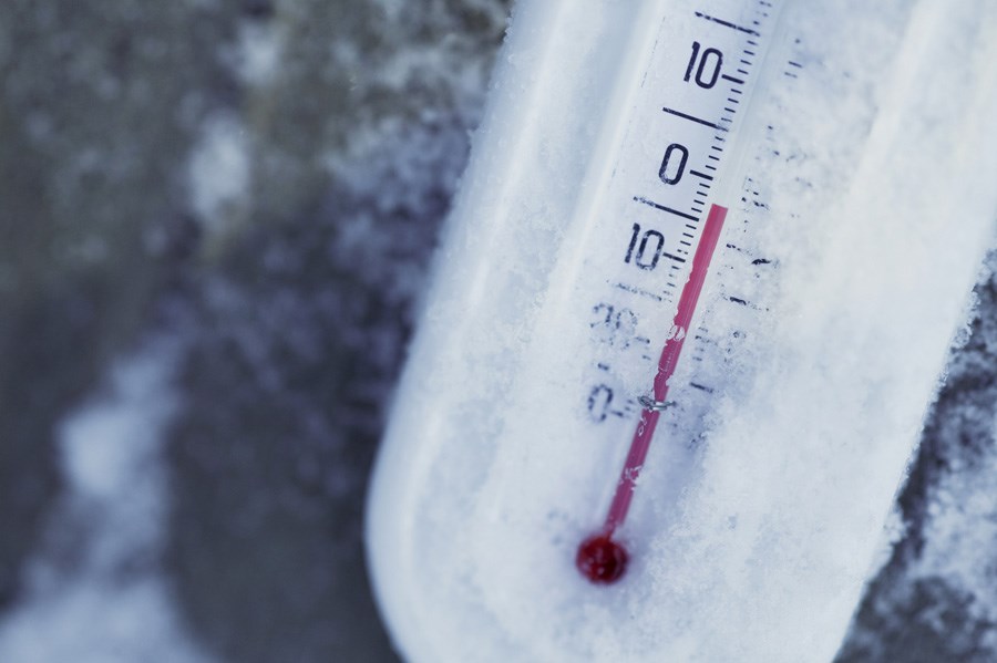
Wind chill values of minus 40 to minus 45 will continue this morning as a multi-day episode of very cold wind chills continues.
Temperatures will moderate during the day, bringing some relief from the extreme cold.
Wind chill values of minus 40 to minus 45 are expected once again tonight into Saturday morning Temperatures will moderate through the day on Saturday bringing an end to the extreme cold spell.
Extreme Cold Warning is in effect for:
- North Bay - Powassan - Mattawa
- West Nipissing - French River
- Greater Sudbury
- Bayfield Inlet - Dunchurch
- South River - Burk's Falls
- Témiscaming Ville-Marie area
- Kirkland Lake - Englehart
- Temiskaming Shores - Temagami
- Bracebridge - Gravenhurst
- Huntsville - Baysville
- Port Carling - Port Severn
- Town of Parry Sound - Rosseau - Killbear Park
Risks are greater for young children, older adults, people with chronic illnesses, people working or exercising outdoors, and those without proper shelter.
Watch for cold-related symptoms: shortness of breath, chest pain, muscle pain and weakness, numbness and colour change in fingers and toes.
Cover up. Frostbite can develop within minutes on exposed skin, especially with wind chill.
Check on older family, friends and neighbours.


