It's going to get very cold over the next 24 hours.
So much so, that Environment Canada has issued an extreme cold warning for:
- North Bay - West Nipissing
- Greater Sudbury and vicinity
- Témiscamingue
- New Liskeard - Temagami
- Burk's Falls - Bayfield Inlet
- Huntsville - Baysville
- Deep River - Whitney - Eastern Algonquin Park
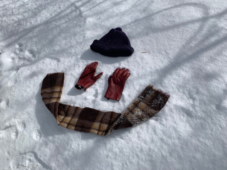
Bitterly cold wind chills near minus 40 are expected overnight and into Friday morning before they slowly begin to rise.
For North Bay, this afternoon wind will come from the north at 20 km/h. The high will reach minus 18 but with a wind chill near minus 31. There is a high risk of frostbite today. Skies will be clear tonight with wind up to 15 km/h. The low will sink to minus 33 but the wind chill minus will be minus 42 overnight. Frostbite can happen in minutes
Learn how to treat frostbite here.
Keep emergency supplies in your vehicle such as extra blankets and jumper cables.
Remember, if it’s too cold for you to stay outside, it’s too cold for your pet to stay outside. See cold weather tips for pets here.
Outdoor workers should take regularly scheduled breaks to warm up.
Extreme cold warnings are issued when very cold temperatures or wind chill creates an elevated risk to health such as frostbite and hypothermia.


