As of 4:50 AM EDT Friday, Environment Canada continued a special weather advisory for North Bay - Powassan - Mattawa and West Nipissing - French River.
More winter weather on the way.
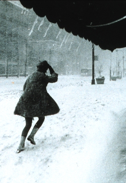
An area of low pressure over Eastern Iowa is expected to intensify and track northeast towards Manitoulin Island by tonight. A large part of Northern Ontario is under warnings including winter storm, snowfall and freezing rain. Regions to the northwest of Lake Superior will be near the edge of the snow, while regions north of Georgian Bay may experience some brief freezing rain this afternoon.
For regions north and northwest of Lake Superior, snow is expected to continue today. Total snowfall amounts are expected to remain below the warning threshold of 15 cm per 12 hours, although Marathon and Geraldton may be quite close with 10 to 15 cm expected by tonight. Total snowfall amounts will drop off as one heads farther west away from Terrace Bay and Geraldton with 5 to 10 cm expected for Thunder Bay to Nipigon. Driving conditions will deteriorate once the snow arrives.
Regions north of Georgian Bay. Precipitation from the approaching winter storm is expected to arrive later this morning, and will probably start out as brief ice pellets or freezing rain. There is some potential for freezing rain to last a few hours before changing over to rain this afternoon as milder air and above freezing temperatures move in. A freezing rain warning has been issued for areas from Sault Ste Marie to Elliot Lake and south to Manitoulin where freezing rain is most likely. Travellers should be prepared for hazardous conditions as untreated surfaces may quickly become icy and slippery. Additional freezing rain warnings may eventually be required for Sudbury, North Bay and New Liskeard.
Environment Canada is closely monitoring this situation.
*****
As of 3:55 PM EDT Thursday, Environment Canada continued a special weather advisory for North Bay - Powassan - Mattawa and West Nipissing - French River.
More winter weather on the way.
Low pressure emerging from the Southern Plains States is expected to deepen and intensify into a winter storm as it tracks northeast towards the Upper Great Lakes near Sault Ste Marie by Friday night.
A large part of Northern Ontario is under warnings including winter storm, snowfall and freezing rain.
Regions to the northwest of Lake Superior will be near the edge of the snow, while regions north of Georgian Bay may experience a freezing rain event Friday.
Regions northwest of Lake Superior. Snow is expected to spread across the areas northwest of Lake Superior including the Lakehead at Thunder Bay tonight and continue into Friday.
Total snowfall amounts are expected to remain below the warning threshold of 15 cm per 12 hours, although Marathon and Geraldton may be quite close with 10 to 15 cm expected by Friday night.
Total snowfall amounts will drop off as one heads further west away from Terrace Bay and Geraldton with 5 possibly up to 10 cm expected for Thunder Bay to Nipigon.
Driving conditions will deteriorate once the snow arrives.
Regions north of Georgian Bay. Precipitation from the approaching winter storm is expected to arrive Friday morning, and will probably start out as ice pellets or freezing rain.
There is some potential for freezing rain to last a few hours before changing over to rain on Friday as milder air and above freezing temperatures move in.
A freezing rain warning has been issued for areas from Sault Ste Marie to Elliot Lake and south to Manitoulin where freezing rain is most likely.
Travellers should be prepared for hazardous conditions as untreated surfaces may quickly become icy and slippery.
Additional freezing rain warnings may eventually be required.
Environment Canada is closely monitoring this situation.
Please monitor the latest forecasts and warnings from Environment Canada at WWW.WEATHER.GC.CA


