Snow depth and water content are well below seasonal averages at the snow survey sites measured by the North Bay-Mattawa Conservation Authority as part of its flood forecasting program.
“Snow depths have decreased since our last survey, due in part to the warm weather and rain we had late last week,” said Joel Harrison, Water Resources Specialist at NBMCA.
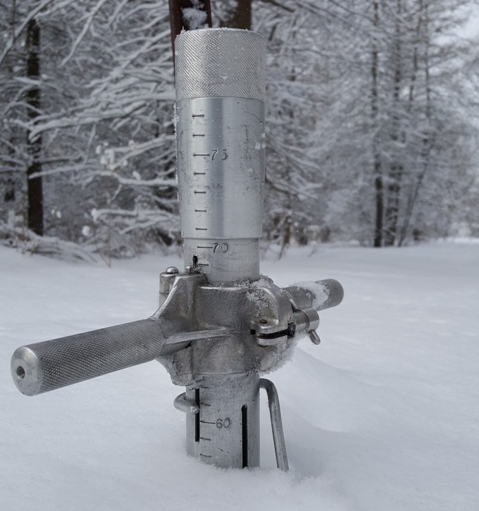
Snow is measured for depth and water equivalence in North Bay, Corbeil and Chisholm Twp. Data for the season can be found on the NBMCA website at www.nbmca.ca. The next snow survey date is February 1, 2018.
North Bay Golf and Country Club (Chippewa Creek Watershed, North Bay)
|
Current Average Snow Depth for January 15, 2018 |
25.9 cm (83% of normal) |
|
Current Average Water Equivalence for January 15, 2018 |
4.7 cm (69% of normal) |
|
Average Snow Depth for January 15, 2017 |
47.3 cm |
|
Highest recorded snow depth for January 15 since 2012* |
47.3 cm in 2012 |
|
|
|
Corbeil Conservation Area (La Vase River Watershed, Corbeil)
|
Current Average Snow Depth for January 15, 2018 |
18.3 cm (52% of normal) |
|
Current Average Water Equivalence for January 15, 2018 |
3.3 cm (57% of normal) |
|
Average Snow Depth for January 15, 2017 |
47.3 cm |
|
Highest recorded snow depth for January 15 since 1988 |
63.0 cm in 2009 |
|
|
|
Shirley Skinner Conservation Area (Kaibuskong River Watershed, Chisholm)
|
Current Average Snow Depth for January 15, 2018 |
19.5 cm (56% of normal) |
|
Current Average Water Equivalence for January 15, 2018 |
3.8 cm (63% of normal) |
|
Average Snow Depth for January 15, 2017 Highest recorded snow depth for January 15 since 2007 |
45.3 cm 52.1 cm in 2009 |


