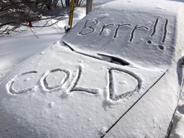
Hats, scarves, and mitts are getting a workout this winter as Mother Nature is putting us back in the deep freeze!
Another extreme cold warning is in effect for:
- North Bay - West Nipissing
- Powassan - Mattawa
- West Nipissing - French River
- Greater Sudbury and vicinity
- Temiskaming Shores - Temagami,
- Bayfield Inlet - Dunchurch
- South River - Burk's Falls
- Huntsville - Baysville
- Town of Parry Sound - Rosseau - Killbear Park
- Témiscaming area - Ville-Marie area
- Temiskaming Shores - Temagami
- Kirkland Lake - Englehart
A period of very cold wind chills is expected. Wind chill values near minus 40 tonight through Saturday morning.
In North Bay tonight will be clear with winds up to 15 km/h. Low minus 31. The wind chill will be minus 27 this evening and minus 40 overnight. Frostbite will occur in minutes.
Saturday will see a wind of chill minus 40 in the morning and minus 20 in the afternoon.
Extreme cold puts everyone at risk.
Dress warmly. Dress in layers that you can remove if you get too warm. The outer layer should be wind resistant.
Keep dry to stay warmer.


