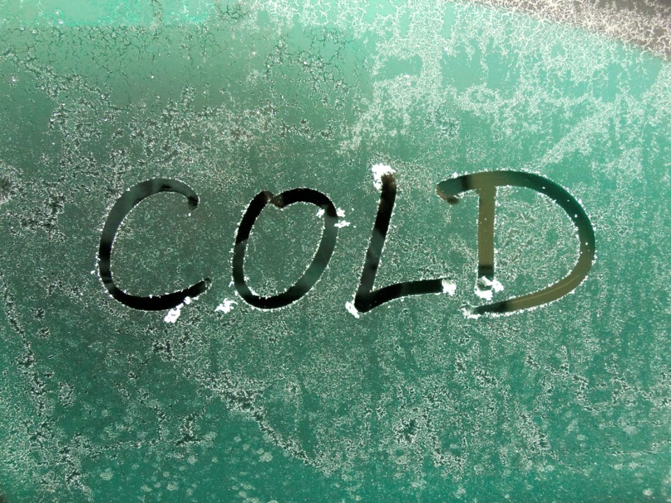
For the second day in a row, cold weather records are falling in our area.
The overnight temperature of minus 20.4 degrees at the airport, beats the previous record low of minus 18.7 in 1986.
Help is on the way. The temperature will rise overnight to minus 3 by morning. The high Thursday is zero. We'll likely see positive temperatures starting Sunday.
Meantime, if you are heading west, a snow squall warning is in effect for Greater Sudbury and vicinity.
Lake effect snow squalls will begin by midday. Some of these flurries will then intensify into local snow squalls this afternoon and persist through Thursday morning.
Local snowfall accumulations of 15 to 25 cm will be possible tonight with an additional 5 centimetres possible Thursday before the squalls move out of the area.
A snow squall watch is in effect for:
- West Nipissing - French River
- Bayfield Inlet - Dunchurch
Snow squalls cause weather conditions to vary considerably; changes from clear skies to heavy snow within just a few kilometres are common.
Prepare for quickly changing and deteriorating travel conditions.


